Dan Gora night lights from space
Night Light of Dan Gora (Kano) from space (Nigeria) Src. Average luminocity for 10x10km area is 1.3853% and for 50x50km: 0.4363%.
Analysis of Dan Gora night lights 2016
Square area 10x10 km:
100  0%
0%
90-99 0%
80-89 0.65%
70-79 0.22%
60-69 0%
50-59 0%
40-49 0.22%
30-39 0.65%
20-29 0%
10-19 0.87%
0-9 97.4%
0%90-99
0%80-89
0.65%70-79
0.22%60-69
0%50-59
0%40-49
0.22%30-39
0.65%20-29
0%10-19
0.87%0-9
97.4%Square area 50x50 km:
100 0%
90-99 0.07%
80-89 0.03%
70-79 0.01%
60-69 0.03%
50-59 0.06%
40-49 0.14%
30-39 0.28%
20-29 0.19%
10-19 0.14%
0-9 99.05%
0%90-99
0.07%80-89
0.03%70-79
0.01%60-69
0.03%50-59
0.06%40-49
0.14%30-39
0.28%20-29
0.19%10-19
0.14%0-9
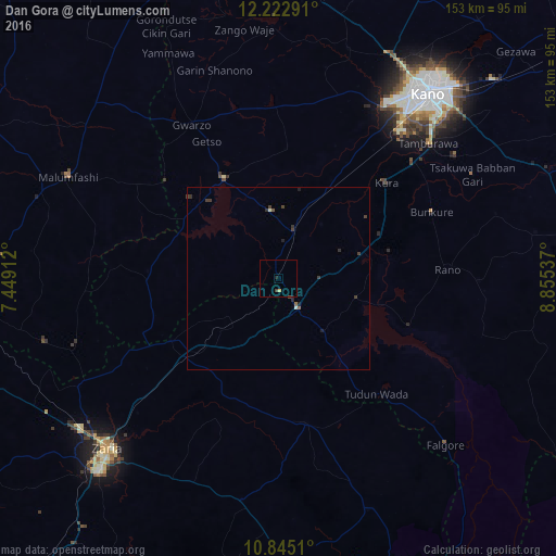
99.05%Clear (daylight) street map image can be seen on geolist.org.
Map coordinates:
12° 13' 22.5" North, 7° 26' 56.8" East
11° 32' 5.5" North, 8° 9' 8.1" East
10° 50' 42.4" North, 8° 51' 19.3" East
Some cities around Dan Gora sort by population:
• Rano
46.7 km =29 mi,  87°
87°
• Gwarzo
48.6 km =30.2 mi,  330°
330°
• Soba
62.4 km =38.8 mi,  189°
189°
• Burumburum
64.3 km =40 mi,  104°
104°
• Bebeji
19 km =11.8 mi,  38°
38°
• Kura
39.8 km =24.7 mi,  48°
48°
• Kibiya
55.4 km =34.4 mi, 90°
• Hunkuyi
62.4 km =38.8 mi,  241°
241°
2345336 (p: 7,907)
Sources (retrieved 2019-11-25):
» Earth at Night: Flat Maps 2012, 2016