Danja night lights from space
Night Light of Danja (Katsina) from space (Nigeria) Src. Average luminocity for 10x10km area is 1.0173% and for 50x50km: 0.7432%.
Analysis of Danja night lights 2016
Square area 10x10 km:
100  0%
0%
90-99 0%
80-89 0%
70-79 0%
60-69 0%
50-59 0%
40-49 0.87%
30-39 0.87%
20-29 0.87%
10-19 0%
0-9 97.4%
0%90-99
0%80-89
0%70-79
0%60-69
0%50-59
0%40-49
0.87%30-39
0.87%20-29
0.87%10-19
0%0-9
97.4%Square area 50x50 km:
100 0%
90-99 0.04%
80-89 0.14%
70-79 0.08%
60-69 0%
50-59 0.1%
40-49 0.21%
30-39 0.25%
20-29 0.1%
10-19 0.37%
0-9 98.68%
0%90-99
0.04%80-89
0.14%70-79
0.08%60-69
0%50-59
0.1%40-49
0.21%30-39
0.25%20-29
0.1%10-19
0.37%0-9
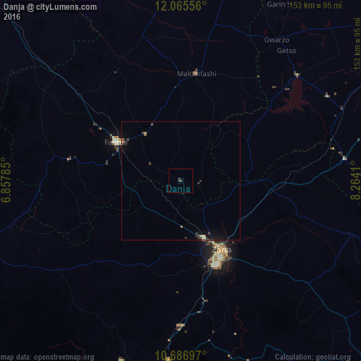
98.68%Clear (daylight) street map image can be seen on geolist.org.
Map coordinates:
12° 3' 56" North, 6° 51' 28.3" East
11° 22' 37.6" North, 7° 33' 39.5" East
10° 41' 13.1" North, 8° 15' 50.8" East
Some cities around Danja sort by population:
• Zaria
34.4 km =21.4 mi,  149°
149°
• Funtua
31.7 km =19.7 mi,  300°
300°
• Malumfashi
46.3 km =28.8 mi,  8°
8°
• Bakori
24.8 km =15.4 mi,  323°
323°
• Kankara
63.7 km =39.6 mi,  345°
345°
• Igabi
65.7 km =40.8 mi,  165°
165°
• Hunkuyi
15.6 km =9.7 mi,  141°
141°
• Gora
60.7 km =37.7 mi, 10°
2345306 (p: 9,736)
Sources (retrieved 2019-11-25):
» Earth at Night: Flat Maps 2012, 2016