Dutsen Wai night lights from space
Night Light of Dutsen Wai (Kaduna) from space (Nigeria) Src. Average luminocity for 10x10km area is 0% and for 50x50km: 0.0273%.
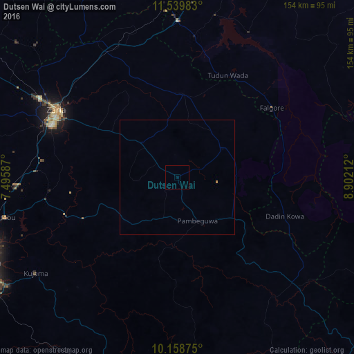
Analysis of Dutsen Wai night lights 2016
Square area 10x10 km:
100  0%
0%
90-99 0%
80-89 0%
70-79 0%
60-69 0%
50-59 0%
40-49 0%
30-39 0%
20-29 0%
10-19 0%
0-9 100%
0%90-99
0%80-89
0%70-79
0%60-69
0%50-59
0%40-49
0%30-39
0%20-29
0%10-19
0%0-9
100%Square area 50x50 km:
100 0%
90-99 0%
80-89 0%
70-79 0.03%
60-69 0%
50-59 0%
40-49 0%
30-39 0%
20-29 0%
10-19 0%
0-9 99.97%
0%90-99
0%80-89
0%70-79
0.03%60-69
0%50-59
0%40-49
0%30-39
0%20-29
0%10-19
0%0-9
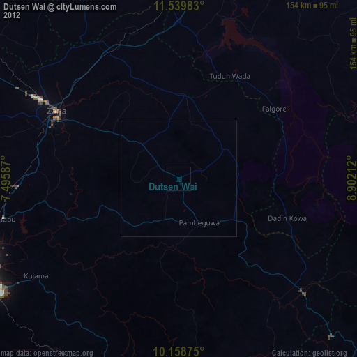
99.97%Clear (daylight) street map image can be seen on geolist.org.
Map coordinates:
11° 32' 23.4" North, 7° 29' 45.1" East
10° 51' 0.3" North, 8° 11' 56.4" East
10° 9' 31.5" North, 8° 54' 7.6" East
Some cities around Dutsen Wai sort by population:
• Zaria
59.6 km =37 mi,  299°
299°
• Lere
65.8 km =40.9 mi,  141°
141°
• Soba
21.3 km =13.2 mi,  313°
313°
• Anchau
24.5 km =15.2 mi,  59°
59°
• Kujama
75.2 km =46.7 mi,  234°
234°
• Igabi
53.1 km =33 mi,  264°
264°
• Hunkuyi
75.8 km =47.1 mi, 307°
• Saminaka
72.2 km =44.9 mi,  132°
132°
2344229 (p: 22,062)
Sources (retrieved 2019-11-25):
» Earth at Night: Flat Maps 2012, 2016