Soba night lights from space
Night Light of Soba (Kaduna) from space (Nigeria) Src. Average luminocity for 10x10km area is 0% and for 50x50km: 0%.
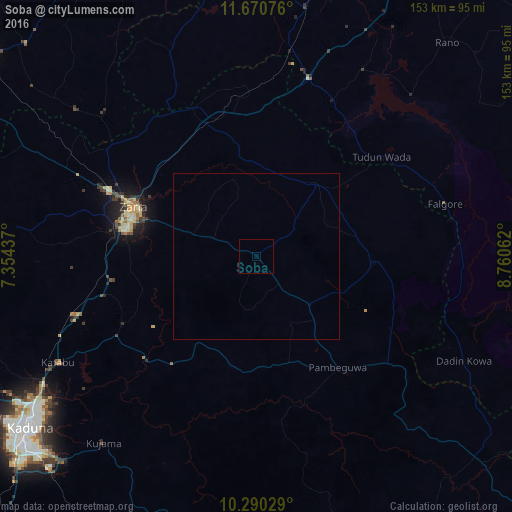
Analysis of Soba night lights 2016
Square area 10x10 km:
100  0%
0%
90-99 0%
80-89 0%
70-79 0%
60-69 0%
50-59 0%
40-49 0%
30-39 0%
20-29 0%
10-19 0%
0-9 100%
0%90-99
0%80-89
0%70-79
0%60-69
0%50-59
0%40-49
0%30-39
0%20-29
0%10-19
0%0-9
100%Square area 50x50 km:
100 0%
90-99 0%
80-89 0%
70-79 0%
60-69 0%
50-59 0%
40-49 0%
30-39 0%
20-29 0%
10-19 0%
0-9 100%
0%90-99
0%80-89
0%70-79
0%60-69
0%50-59
0%40-49
0%30-39
0%20-29
0%10-19
0%0-9
100%Clear (daylight) street map image can be seen on geolist.org.
Map coordinates:
11° 40' 14.7" North, 7° 21' 15.7" East
10° 58' 52.8" North, 8° 3' 27" East
10° 17' 25" North, 8° 45' 38.2" East
Some cities around Soba sort by population:
• Zaria
39.3 km =24.4 mi,  291°
291°
• Dutsen Wai
21.3 km =13.2 mi,  133°
133°
• Anchau
36.6 km =22.7 mi,  93°
93°
• Kujama
74.1 km =46 mi,  218°
218°
• Danja
69.8 km =43.4 mi,  309°
309°
• Igabi
42.2 km =26.2 mi,  242°
242°
• Hunkuyi
54.7 km =34 mi, 305°
• Dan Gora
62.4 km =38.8 mi,  9°
9°
2322957 (p: 15,715)
Sources (retrieved 2019-11-25):
» Earth at Night: Flat Maps 2012, 2016