Yenagoa night lights from space
Night Light of Yenagoa (Bayelsa) from space (Nigeria) Src. Average luminocity for 10x10km area is 19.2314% and for 50x50km: 8.5834%.
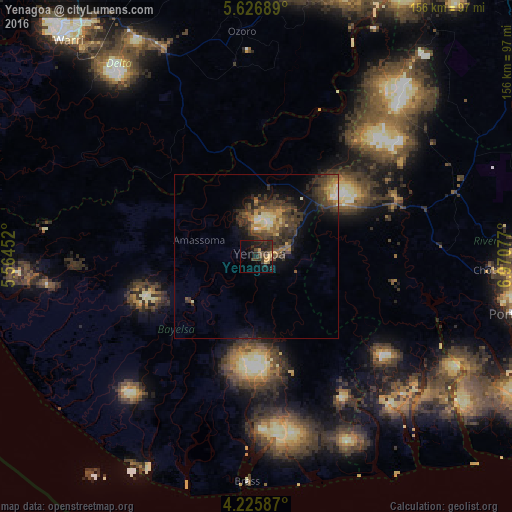
Analysis of Yenagoa night lights 2016
Square area 10x10 km:
 0%
0%90-99
0%80-89
2.27%70-79
3.51%60-69
1.45%50-59
1.03%40-49
6.4%30-39
9.92%20-29
10.95%10-19
16.74%0-9
47.73%Square area 50x50 km:
0.21%90-99
0.86%80-89
0.87%70-79
1.09%60-69
1.23%50-59
1.33%40-49
2.46%30-39
4.09%20-29
2.76%10-19
4.96%0-9
80.14%Clear (daylight) street map image can be seen on geolist.org.
Map coordinates:
5° 37' 36.8" North, 5° 33' 52.3" East
4° 55' 36.3" North, 6° 16' 3.5" East
4° 13' 33.1" North, 6° 58' 14.8" East
Some cities around Yenagoa sort by population:
• Obonoma
62.7 km =39 mi,  112°
112°
• Elele
63.6 km =39.5 mi,  72°
72°
• Degema Hulk
56.5 km =35.1 mi, 108°
• Ahoada
45.7 km =28.4 mi, 67°
• Omoku
63.3 km =39.3 mi,  42°
42°
• Bomadi
46.1 km =28.6 mi,  304°
304°
• Patani
34.6 km =21.5 mi,  345°
345°
• Amassoma
18.2 km =11.3 mi,  285°
285°
2318123 (p: 24,335)
Sources (retrieved 2019-11-25):
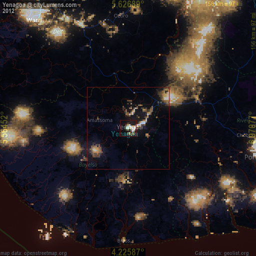
» Earth at Night: Flat Maps 2012, 2016