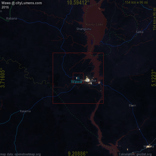
Wawa night lights from space
Night Light of Wawa (Niger) from space (Nigeria) Src. Average luminocity for 10x10km area is 1.7169% and for 50x50km: 1.0324%.
Analysis of Wawa night lights 2016
Square area 10x10 km:
100  0%
0%
90-99 0%
80-89 0%
70-79 0%
60-69 1.65%
50-59 0%
40-49 0%
30-39 0%
20-29 0%
10-19 0.41%
0-9 97.93%
0%90-99
0%80-89
0%70-79
0%60-69
1.65%50-59
0%40-49
0%30-39
0%20-29
0%10-19
0.41%0-9
97.93%Square area 50x50 km:
100 0.04%
90-99 0.23%
80-89 0.13%
70-79 0%
60-69 0.11%
50-59 0.19%
40-49 0.24%
30-39 0.19%
20-29 0.14%
10-19 0.38%
0-9 98.34%
0.04%90-99
0.23%80-89
0.13%70-79
0%60-69
0.11%50-59
0.19%40-49
0.24%30-39
0.19%20-29
0.14%10-19
0.38%0-9
98.34%Clear (daylight) street map image can be seen on geolist.org.
Map coordinates:
10° 35' 38.8" North, 3° 42' 57.8" East
9° 54' 8" North, 4° 25' 9" East
9° 12' 31.9" North, 5° 7' 20.3" East
Some cities around Wawa sort by population:
• Kaiama
61.9 km =38.5 mi,  237°
237°
• Jebba
97.7 km =60.7 mi,  152°
152°
• Mokwa
97 km =60.3 mi,  134°
134°
• Babana
88.4 km =54.9 mi,  311°
311°
• Ibeto
102.5 km =63.7 mi,  50°
50°
• Bokani
100.2 km =62.3 mi,  121°
121°
• Auna
46 km =28.6 mi, 46°
• New Shagunnu
48.9 km =30.4 mi,  6°
6°
2319078 (p: 10,200)
Sources (retrieved 2019-11-25):
» Earth at Night: Flat Maps 2012, 2016