New Shagunnu night lights from space
Night Light of New Shagunnu (Niger) from space (Nigeria) Src. Average luminocity for 10x10km area is 0% and for 50x50km: 0.0162%.
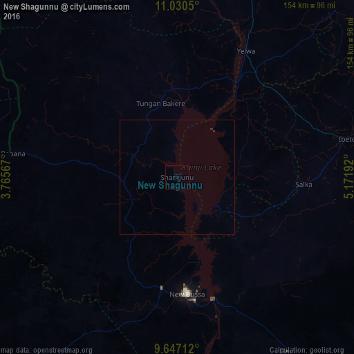
Analysis of New Shagunnu night lights 2016
Square area 10x10 km:
 0%
0%90-99
0%80-89
0%70-79
0%60-69
0%50-59
0%40-49
0%30-39
0%20-29
0%10-19
0%0-9
100%Square area 50x50 km:
0%90-99
0%80-89
0%70-79
0%60-69
0%50-59
0%40-49
0%30-39
0%20-29
0.07%10-19
0%0-9
99.93%Clear (daylight) street map image can be seen on geolist.org.
Map coordinates:
11° 1' 49.8" North, 3° 45' 56.4" East
10° 20' 22.5" North, 4° 28' 7.7" East
9° 38' 49.6" North, 5° 10' 18.9" East
Some cities around New Shagunnu sort by population:
• Kaiama
100 km =62.1 mi,  215°
215°
• Babana
72.2 km =44.9 mi,  277°
277°
• Ibeto
75.7 km =47 mi,  77°
77°
• Bin Yauri
61.8 km =38.4 mi,  37°
37°
• Wawa
48.9 km =30.4 mi,  186°
186°
• Auna
32.5 km =20.2 mi,  121°
121°
• Konkwesso
69.4 km =43.1 mi,  324°
324°
• Shanga
97.9 km =60.8 mi,  7°
7°
2329114 (p: 7,349)
Sources (retrieved 2019-11-25):
» Earth at Night: Flat Maps 2012, 2016