Kagoro night lights from space
Night Light of Kagoro (Kaduna) from space (Nigeria) Src. Average luminocity for 10x10km area is 0.3442% and for 50x50km: 0.1877%.
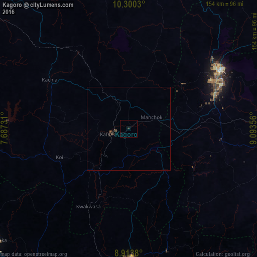

Analysis of Kagoro night lights 2016
Square area 10x10 km:
 0%
0%90-99
0%80-89
0%70-79
0%60-69
0%50-59
0%40-49
0%30-39
0.87%20-29
0%10-19
0%0-9
99.13%Square area 50x50 km:
0%90-99
0%80-89
0%70-79
0%60-69
0.03%50-59
0.01%40-49
0.12%30-39
0.13%20-29
0.18%10-19
0%0-9
99.53%Clear (daylight) street map image can be seen on geolist.org.
Map coordinates:
10° 18' 1.1" North, 7° 41' 14.3" East
9° 36' 27.9" North, 8° 23' 25.5" East
8° 54' 49.7" North, 9° 5' 36.8" East
Some cities around Kagoro sort by population:
• Jos
65.5 km =40.7 mi,  57°
57°
• Kafanchan
11.1 km =6.9 mi,  254°
254°
• Kachia
56.2 km =34.9 mi,  301°
301°
• Wamba
77.7 km =48.3 mi,  162°
162°
• Akwanga
77.5 km =48.2 mi,  178°
178°
• Bukuru
55.9 km =34.7 mi,  68°
68°
• Bokkos
74.6 km =46.4 mi,  117°
117°
• Vom
46 km =28.6 mi, 72°
2335614 (p: 77,008)
Sources (retrieved 2019-11-25):
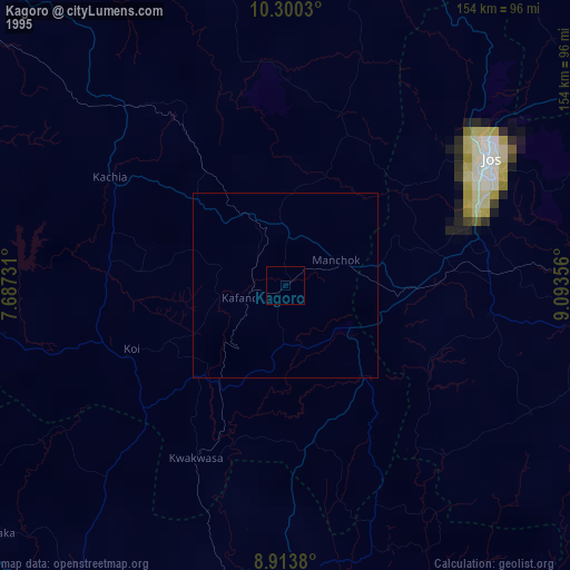
» NASA, Earths city lights 1995
» NASA city lights 2003
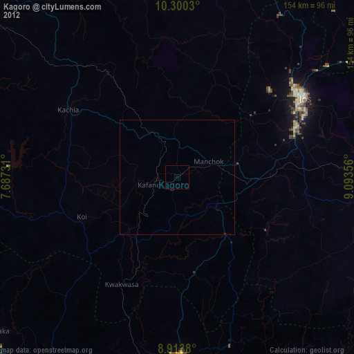
» Earth at Night: Flat Maps 2012, 2016