Ughelli night lights from space
Night Light of Ughelli (Delta) from space (Nigeria) Src. Average luminocity for 10x10km area is 21.5971% and for 50x50km: 9.3731%.
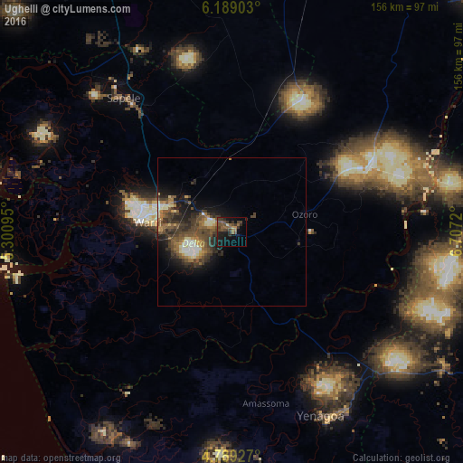
Analysis of Ughelli night lights 2016
Square area 10x10 km:
 0%
0%90-99
0%80-89
0.83%70-79
1.45%60-69
4.34%50-59
6.82%40-49
9.09%30-39
9.71%20-29
4.75%10-19
21.9%0-9
41.12%Square area 50x50 km:
0.59%90-99
1.21%80-89
0.78%70-79
0.86%60-69
1.55%50-59
2.13%40-49
3.08%30-39
2.86%20-29
2.65%10-19
5.44%0-9
78.85%Clear (daylight) street map image can be seen on geolist.org.
Map coordinates:
6° 11' 20.5" North, 5° 18' 3.4" East
5° 29' 22.4" North, 6° 0' 14.7" East
4° 47' 21.4" North, 6° 42' 25.9" East
Some cities around Ughelli sort by population:
• Warri
28.3 km =17.6 mi,  276°
276°
• Kwale
53.4 km =33.2 mi,  62°
62°
• Burutu
56.9 km =35.4 mi,  254°
254°
• Obiaruku
43 km =26.7 mi,  22°
22°
• Bomadi
37.6 km =23.4 mi,  193°
193°
• Patani
35.6 km =22.1 mi,  144°
144°
• Abraka
35.2 km =21.9 mi, 18°
• Orerokpe
20.7 km =12.9 mi,  322°
322°
2320829 (p: 79,986)
Sources (retrieved 2019-11-25):
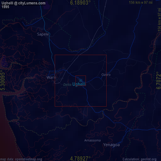
» NASA, Earths city lights 1995
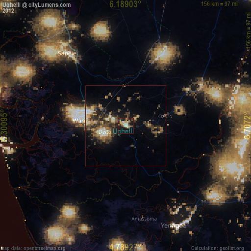
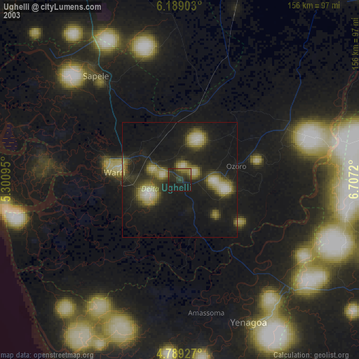
» NASA city lights 2003
» Earth at Night: Flat Maps 2012, 2016