Otukpa night lights from space
Night Light of Otukpa (Benue) from space (Nigeria) Src. Average luminocity for 10x10km area is 0% and for 50x50km: 0%.
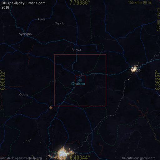
Analysis of Otukpa night lights 2016
Square area 10x10 km:
100  0%
0%
90-99 0%
80-89 0%
70-79 0%
60-69 0%
50-59 0%
40-49 0%
30-39 0%
20-29 0%
10-19 0%
0-9 100%
0%90-99
0%80-89
0%70-79
0%60-69
0%50-59
0%40-49
0%30-39
0%20-29
0%10-19
0%0-9
100%Square area 50x50 km:
100 0%
90-99 0%
80-89 0%
70-79 0%
60-69 0%
50-59 0%
40-49 0%
30-39 0%
20-29 0%
10-19 0%
0-9 100%
0%90-99
0%80-89
0%70-79
0%60-69
0%50-59
0%40-49
0%30-39
0%20-29
0%10-19
0%0-9
100%Clear (daylight) street map image can be seen on geolist.org.
Map coordinates:
7° 47' 55.9" North, 6° 57' 22.8" East
7° 6' 6" North, 7° 39' 34" East
6° 24' 12.4" North, 8° 21' 45.3" East
Some cities around Otukpa sort by population:
• Nsukka
39.8 km =24.7 mi,  227°
227°
• Enugu-Ezike
26.1 km =16.2 mi,  239°
239°
• Ankpa
33.6 km =20.9 mi,  354°
354°
• Boju
38.2 km =23.7 mi,  42°
42°
• Ete
22.8 km =14.2 mi,  266°
266°
• Ochobo
36.7 km =22.8 mi,  76°
76°
• Ikem
36.3 km =22.6 mi,  170°
170°
• Obolo-Eke (1)
24.4 km =15.2 mi,  186°
186°
2325437 (p: 21,686)
Sources (retrieved 2019-11-25):
» Earth at Night: Flat Maps 2012, 2016