Badeggi night lights from space
Night Light of Badeggi (Niger) from space (Nigeria) Src. Average luminocity for 10x10km area is 0% and for 50x50km: 0.0429%.
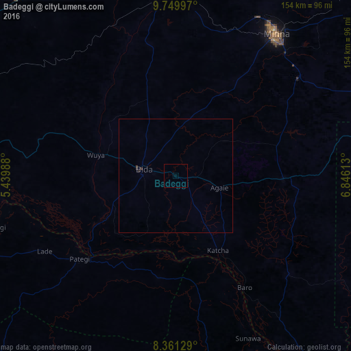
Analysis of Badeggi night lights 2016
Square area 10x10 km:
100  0%
0%
90-99 0%
80-89 0%
70-79 0%
60-69 0%
50-59 0%
40-49 0%
30-39 0%
20-29 0%
10-19 0%
0-9 100%
0%90-99
0%80-89
0%70-79
0%60-69
0%50-59
0%40-49
0%30-39
0%20-29
0%10-19
0%0-9
100%Square area 50x50 km:
100 0%
90-99 0%
80-89 0%
70-79 0%
60-69 0%
50-59 0%
40-49 0%
30-39 0.07%
20-29 0.07%
10-19 0%
0-9 99.86%
0%90-99
0%80-89
0%70-79
0%60-69
0%50-59
0%40-49
0%30-39
0.07%20-29
0.07%10-19
0%0-9
99.86%Clear (daylight) street map image can be seen on geolist.org.
Map coordinates:
9° 44' 59.9" North, 5° 26' 23.6" East
9° 3' 22.7" North, 6° 8' 34.8" East
8° 21' 40.6" North, 6° 50' 46.1" East
Some cities around Badeggi sort by population:
• Minna
76.4 km =47.5 mi,  35°
35°
• Bida
14.9 km =9.3 mi,  280°
280°
• Lafiagi
82.9 km =51.5 mi,  254°
254°
• Patigi
56 km =34.8 mi,  229°
229°
• Baro
57.6 km =35.8 mi,  148°
148°
• Zungeru
83.5 km =51.9 mi,  0°
0°
• Lapai
47 km =29.2 mi,  91°
91°
• Agaie
20 km =12.4 mi,  105°
105°
2348365 (p: 8,283)
Sources (retrieved 2019-11-25):
» Earth at Night: Flat Maps 2012, 2016