Osogbo night lights from space
Night Light of Osogbo (Osun) from space (Nigeria) Src. Average luminocity for 10x10km area is 37.6921% and for 50x50km: 3.7537%.
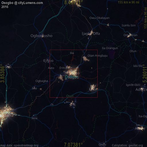

Analysis of Osogbo night lights 2016
Square area 10x10 km:
 0%
0%90-99
0%80-89
6.2%70-79
6.4%60-69
11.16%50-59
8.88%40-49
16.74%30-39
9.5%20-29
5.99%10-19
20.87%0-9
14.26%Square area 50x50 km:
0%90-99
0%80-89
0.49%70-79
0.29%60-69
0.55%50-59
0.66%40-49
1.74%30-39
1.74%20-29
0.77%10-19
2.26%0-9
91.5%Clear (daylight) street map image can be seen on geolist.org.
Map coordinates:
8° 28' 1.6" North, 3° 51' 13.9" East
7° 46' 15.7" North, 4° 33' 25.1" East
7° 4' 25.7" North, 5° 15' 36.4" East
Some cities around Osogbo sort by population:
• Ilesa
25.8 km =16 mi,  128°
128°
• Inisa
26.5 km =16.5 mi,  289°
289°
• Ejigbo
30.5 km =19 mi,  298°
298°
• Ikirun
19.9 km =12.4 mi,  37°
37°
• Ilobu
11 km =6.8 mi,  314°
314°
• Oyan
38.7 km =24 mi, 36°
• Ijebu-Jesa
30.4 km =18.9 mi,  108°
108°
• Otan Ayegbaju
32.2 km =20 mi,  52°
52°
2325590 (p: 156,694)
Sources (retrieved 2019-11-25):
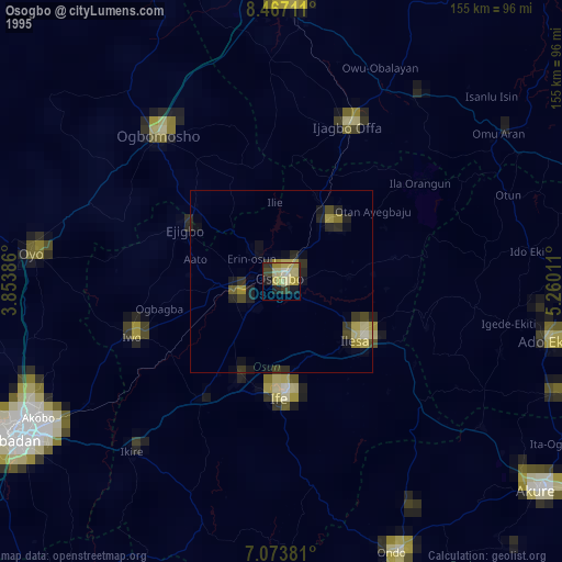
» NASA, Earths city lights 1995
» NASA city lights 2003
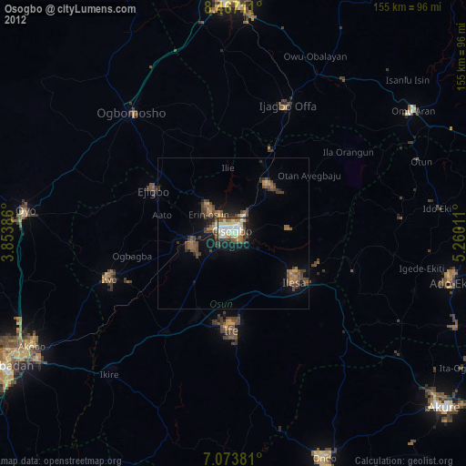
» Earth at Night: Flat Maps 2012, 2016