Inisa night lights from space
Night Light of Inisa (Osun) from space (Nigeria) Src. Average luminocity for 10x10km area is 0.0227% and for 50x50km: 1.909%.
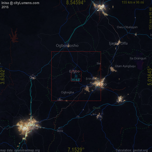
Analysis of Inisa night lights 2016
Square area 10x10 km:
 0%
0%90-99
0%80-89
0%70-79
0%60-69
0%50-59
0%40-49
0%30-39
0%20-29
0%10-19
0%0-9
100%Square area 50x50 km:
0%90-99
0%80-89
0.17%70-79
0.21%60-69
0.35%50-59
0.27%40-49
0.81%30-39
0.98%20-29
0.49%10-19
1.48%0-9
95.25%Clear (daylight) street map image can be seen on geolist.org.
Map coordinates:
8° 32' 45.4" North, 3° 37' 48.7" East
7° 50' 54.8" North, 4° 19' 47.3" East
7° 9' 10.4" North, 5° 2' 11.2" East
Some cities around Inisa sort by population:
• Oyo
43.9 km =27.3 mi,  270°
270°
• Iwo
28.8 km =17.9 mi,  214°
214°
• Osogbo
26.5 km =16.5 mi,  109°
109°
• Gbongan
41.4 km =25.7 mi,  176°
176°
• Ejigbo
6.3 km =3.9 mi,  344°
344°
• Ikirun
37.9 km =23.5 mi,  79°
79°
• Ilobu
17.2 km =10.7 mi,  93°
93°
• Olupona
32 km =19.9 mi, 210°
2337490 (p: 164,161)
Sources (retrieved 2019-11-25):
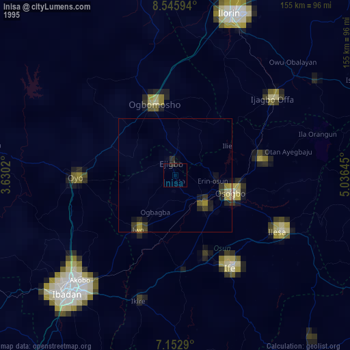
» NASA, Earths city lights 1995
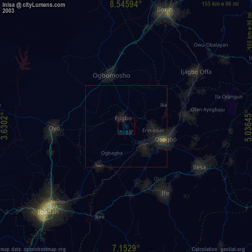
» NASA city lights 2003
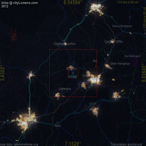
» Earth at Night: Flat Maps 2012, 2016