Otan Ayegbaju night lights from space
Night Light of Otan Ayegbaju (Osun) from space (Nigeria) Src. Average luminocity for 10x10km area is 0% and for 50x50km: 1.5552%.
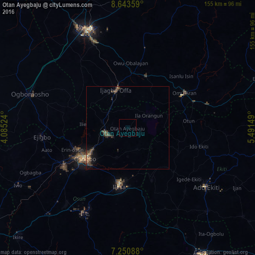

Analysis of Otan Ayegbaju night lights 2016
Square area 10x10 km:
 0%
0%90-99
0%80-89
0%70-79
0%60-69
0%50-59
0%40-49
0%30-39
0%20-29
0%10-19
0%0-9
100%Square area 50x50 km:
0%90-99
0%80-89
0.1%70-79
0.1%60-69
0.2%50-59
0.41%40-49
0.93%30-39
0.65%20-29
0.34%10-19
0.85%0-9
96.41%Clear (daylight) street map image can be seen on geolist.org.
Map coordinates:
8° 38' 36.9" North, 4° 5' 6.9" East
7° 56' 52.2" North, 4° 47' 18.1" East
7° 15' 3.2" North, 5° 29' 29.4" East
Some cities around Otan Ayegbaju sort by population:
• Ila Orangun
14.9 km =9.3 mi,  58°
58°
• Ikirun
13.9 km =8.6 mi,  253°
253°
• Offa
23.6 km =14.7 mi,  341°
341°
• Oke Mesi
20.3 km =12.6 mi,  135°
135°
• Oyan
11.6 km =7.2 mi,  348°
348°
• Ijebu-Jesa
29.6 km =18.4 mi,  173°
173°
• Oke Ila
21.5 km =13.4 mi,  89°
89°
• Ajasse Ipo
31.9 km =19.8 mi,  5°
5°
2325506 (p: 37,783)
Sources (retrieved 2019-11-25):
» Earth at Night: Flat Maps 2012, 2016