Ijebu-Jesa night lights from space
Night Light of Ijebu-Jesa (Osun) from space (Nigeria) Src. Average luminocity for 10x10km area is 0.8657% and for 50x50km: 1.1449%.
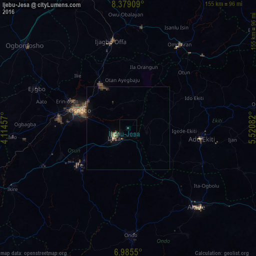
Analysis of Ijebu-Jesa night lights 2016
Square area 10x10 km:
 0%
0%90-99
0%80-89
0%70-79
0%60-69
0%50-59
0%40-49
0%30-39
0.83%20-29
0%10-19
0%0-9
99.17%Square area 50x50 km:
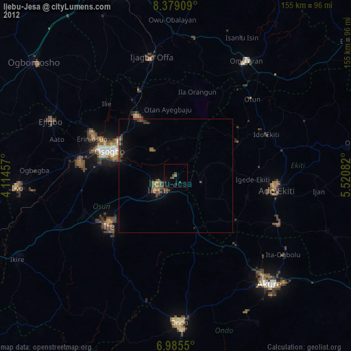
0%90-99
0%80-89
0.24%70-79
0.03%60-69
0.07%50-59
0.11%40-49
0.47%30-39
0.57%20-29
0.22%10-19
0.61%0-9
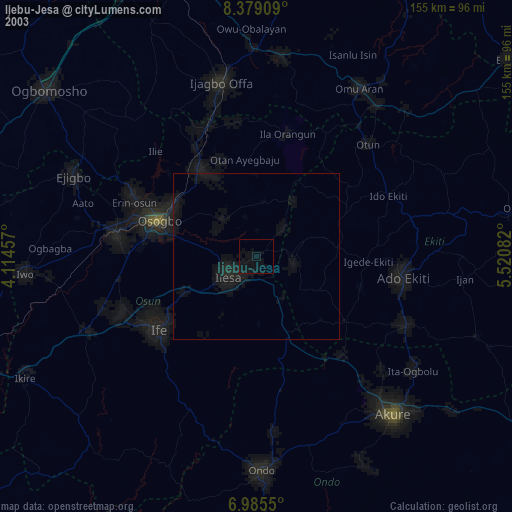
97.69%Clear (daylight) street map image can be seen on geolist.org.
Map coordinates:
8° 22' 44.7" North, 4° 6' 52.5" East
7° 40' 58.3" North, 4° 49' 3.7" East
6° 59' 7.8" North, 5° 31' 15" East
Some cities around Ijebu-Jesa sort by population:
• Efon-Alaaye
11.9 km =7.4 mi,  104°
104°
• Ilesa
10.4 km =6.5 mi,  233°
233°
• Ijero-Ekiti
31.2 km =19.4 mi,  61°
61°
• Osogbo
30.4 km =18.9 mi,  288°
288°
• Ikirun
30.5 km =19 mi,  327°
327°
• Oke Mesi
18.4 km =11.4 mi,  36°
36°
• Aramoko-Ekiti
24.7 km =15.3 mi,  84°
84°
• Otan Ayegbaju
29.6 km =18.4 mi,  353°
353°
2338401 (p: 51,730)
Sources (retrieved 2019-11-25):
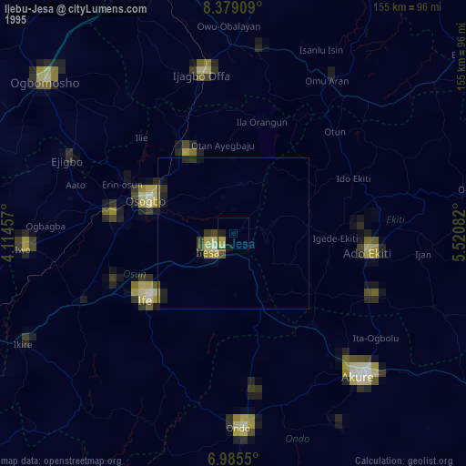
» NASA, Earths city lights 1995
» NASA city lights 2003
» Earth at Night: Flat Maps 2012, 2016