Ejigbo night lights from space
Night Light of Ejigbo (Osun) from space (Nigeria) Src. Average luminocity for 10x10km area is 0.4091% and for 50x50km: 1.5637%.
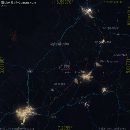
Analysis of Ejigbo night lights 2016
Square area 10x10 km:
 0%
0%90-99
0%80-89
0%70-79
0%60-69
0%50-59
0%40-49
0%30-39
0.83%20-29
0%10-19
0%0-9
99.17%Square area 50x50 km:
0%90-99
0%80-89
0.1%70-79
0.07%60-69
0.29%50-59
0.24%40-49
0.72%30-39
0.97%20-29
0.42%10-19
1.17%0-9
96.04%Clear (daylight) street map image can be seen on geolist.org.
Map coordinates:
8° 35' 55.5" North, 3° 36' 39.8" East
7° 54' 10.5" North, 4° 18' 51.1" East
7° 12' 21.2" North, 5° 1' 2.3" East
Some cities around Ejigbo sort by population:
• Oyo
42.5 km =26.4 mi,  262°
262°
• Iwo
33.2 km =20.6 mi,  206°
206°
• Inisa
6.3 km =3.9 mi,  164°
164°
• Osogbo
30.5 km =19 mi,  118°
118°
• Gbongan
47.5 km =29.5 mi,  174°
174°
• Ikirun
38.9 km =24.2 mi,  88°
88°
• Ilobu
20.1 km =12.5 mi,  110°
110°
• Olupona
36.6 km =22.7 mi,  203°
203°
2343784 (p: 138,357)
Sources (retrieved 2019-11-25):
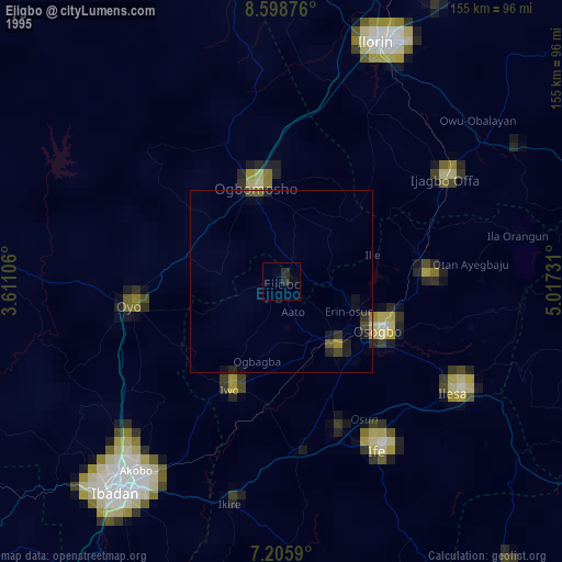
» NASA, Earths city lights 1995
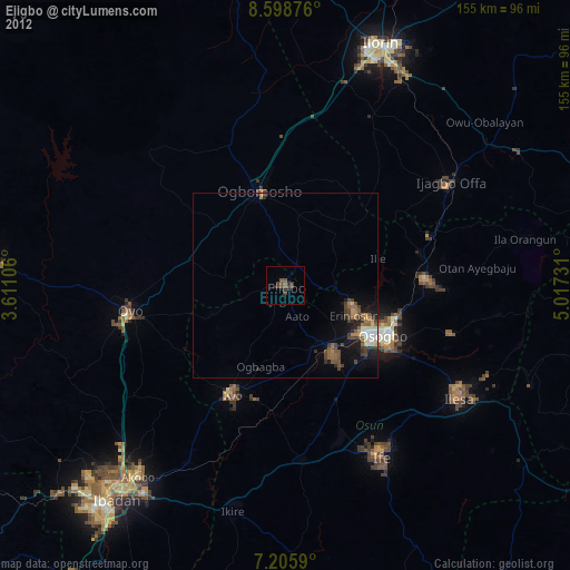
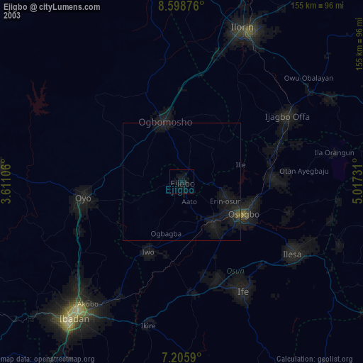
» NASA city lights 2003
» Earth at Night: Flat Maps 2012, 2016