Atani night lights from space
Night Light of Atani (Anambra) from space (Nigeria) Src. Average luminocity for 10x10km area is 4.5888% and for 50x50km: 5.2985%.
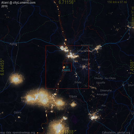
Analysis of Atani night lights 2016
Square area 10x10 km:
 0%
0%90-99
0%80-89
2.27%70-79
2.69%60-69
0%50-59
0%40-49
0%30-39
0%20-29
0%10-19
0%0-9
95.04%Square area 50x50 km:
0.28%90-99
1.23%80-89
0.65%70-79
0.39%60-69
0.45%50-59
0.38%40-49
0.71%30-39
1.58%20-29
1.8%10-19
5.02%0-9
87.5%Clear (daylight) street map image can be seen on geolist.org.
Map coordinates:
6° 42' 41.6" North, 6° 2' 40.4" East
6° 0' 46" North, 6° 44' 51.6" East
5° 18' 47.1" North, 7° 27' 2.9" East
Some cities around Atani sort by population:
• Onitsha
15.8 km =9.8 mi,  15°
15°
• Nnewi
18.8 km =11.7 mi,  87°
87°
• Nkpor
17.8 km =11.1 mi,  30°
30°
• Ihiala
21.5 km =13.4 mi,  144°
144°
• Igbo-Ukwu
30.1 km =18.7 mi, 88°
• Ozubulu
13.2 km =8.2 mi,  117°
117°
• Asaba
20.7 km =12.9 mi,  355°
355°
• Uruobo-Okija
16.4 km =10.2 mi, 139°
2349019 (p: 230,000)
Sources (retrieved 2019-11-25):
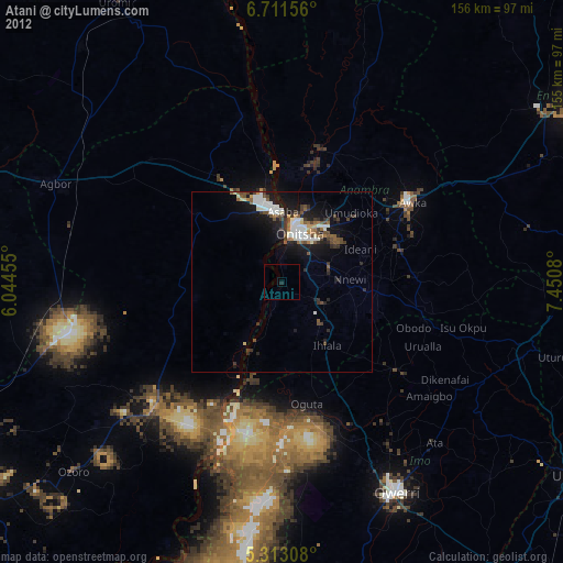
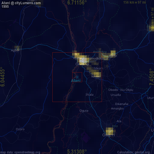
» NASA, Earths city lights 1995
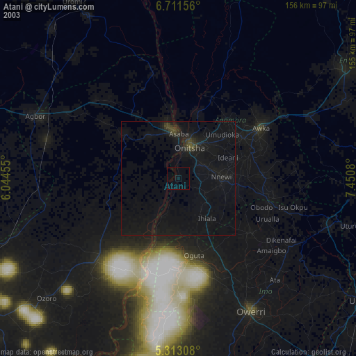
» NASA city lights 2003
» Earth at Night: Flat Maps 2012, 2016