Tsafe night lights from space
Night Light of Tsafe (Zamfara) from space (Nigeria) Src. Average luminocity for 10x10km area is 0% and for 50x50km: 0.3698%.
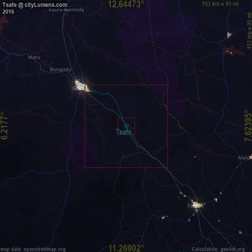
Analysis of Tsafe night lights 2016
Square area 10x10 km:
100  0%
0%
90-99 0%
80-89 0%
70-79 0%
60-69 0%
50-59 0%
40-49 0%
30-39 0%
20-29 0%
10-19 0%
0-9 100%
0%90-99
0%80-89
0%70-79
0%60-69
0%50-59
0%40-49
0%30-39
0%20-29
0%10-19
0%0-9
100%Square area 50x50 km:
100 0%
90-99 0.09%
80-89 0.05%
70-79 0.07%
60-69 0.05%
50-59 0.03%
40-49 0.05%
30-39 0.02%
20-29 0.07%
10-19 0.28%
0-9 99.29%
0%90-99
0.09%80-89
0.05%70-79
0.07%60-69
0.05%50-59
0.03%40-49
0.05%30-39
0.02%20-29
0.07%10-19
0.28%0-9
99.29%Clear (daylight) street map image can be seen on geolist.org.
Map coordinates:
12° 38' 41" North, 6° 13' 3.7" East
11° 57' 27.9" North, 6° 55' 15" East
11° 16' 8.5" North, 7° 37' 26.2" East
Some cities around Tsafe sort by population:
• Gusau
36.6 km =22.7 mi,  310°
310°
• Funtua
64.4 km =40 mi,  138°
138°
• Sauri
29.7 km =18.5 mi,  210°
210°
• Runka
68.9 km =42.8 mi,  37°
37°
• Bakori
70.7 km =43.9 mi,  129°
129°
• Maru
70 km =43.5 mi, 306°
• Kankara
53.4 km =33.2 mi,  93°
93°
• Kwatarkwashi
23 km =14.3 mi,  332°
332°
2346199 (p: 9,367)
Sources (retrieved 2019-11-25):
» Earth at Night: Flat Maps 2012, 2016