Kwatarkwashi night lights from space
Night Light of Kwatarkwashi (Zamfara) from space (Nigeria) Src. Average luminocity for 10x10km area is 0% and for 50x50km: 1.7489%.
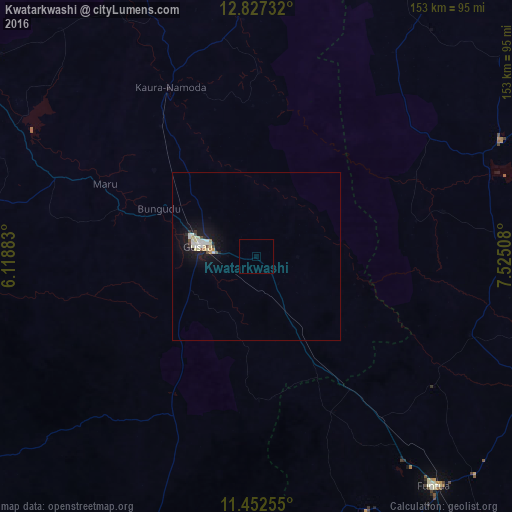
Analysis of Kwatarkwashi night lights 2016
Square area 10x10 km:
 0%
0%90-99
0%80-89
0%70-79
0%60-69
0%50-59
0%40-49
0%30-39
0%20-29
0%10-19
0%0-9
100%Square area 50x50 km:
0.17%90-99
0.52%80-89
0.29%70-79
0.1%60-69
0.07%50-59
0.07%40-49
0.2%30-39
0.1%20-29
0.19%10-19
1.99%0-9
96.3%Clear (daylight) street map image can be seen on geolist.org.
Map coordinates:
12° 49' 38.4" North, 6° 7' 7.8" East
12° 8' 27" North, 6° 49' 19.1" East
11° 27' 9.2" North, 7° 31' 30.3" East
Some cities around Kwatarkwashi sort by population:
• Gusau
17.5 km =10.9 mi,  280°
280°
• Kaura Namoda
56.5 km =35.1 mi,  333°
333°
• Sauri
46.2 km =28.7 mi,  185°
185°
• Runka
63 km =39.1 mi,  57°
57°
• Maru
50.2 km =31.2 mi,  295°
295°
• Wagini
73.1 km =45.4 mi,  33°
33°
• Kankara
68.2 km =42.4 mi,  109°
109°
• Tsafe
23 km =14.3 mi,  152°
152°
2332733 (p: 9,084)
Sources (retrieved 2019-11-25):
» Earth at Night: Flat Maps 2012, 2016