Malumfashi night lights from space
Night Light of Malumfashi (Katsina) from space (Nigeria) Src. Average luminocity for 10x10km area is 2.5124% and for 50x50km: 0.1293%.
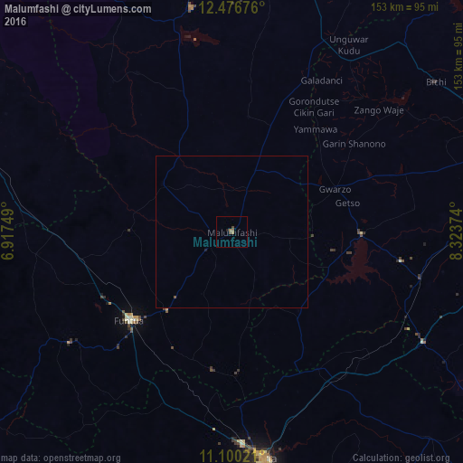
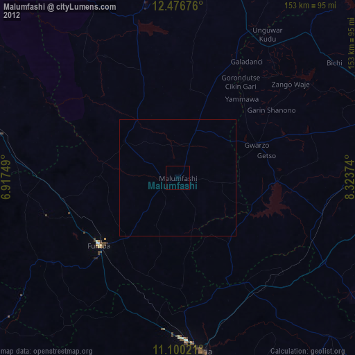
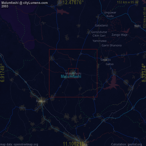
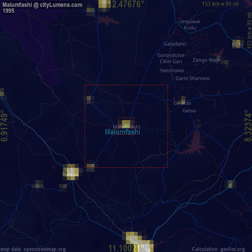
Analysis of Malumfashi night lights 2016
Square area 10x10 km:
 0%
0%90-99
0%80-89
0%70-79
0%60-69
1.65%50-59
0.83%40-49
1.45%30-39
0.21%20-29
0.83%10-19
0%0-9
95.04%Square area 50x50 km:
0%90-99
0%80-89
0%70-79
0%60-69
0.07%50-59
0.07%40-49
0.06%30-39
0.01%20-29
0.04%10-19
0.03%0-9
99.73%Clear (daylight) street map image can be seen on geolist.org.
Map coordinates:
12° 28' 36.3" North, 6° 55' 3" East
11° 47' 21.7" North, 7° 37' 14.2" East
11° 6' 0.8" North, 8° 19' 25.5" East
Some cities around Malumfashi sort by population:
• Funtua
44.8 km =27.8 mi,  228°
228°
• Gwarzo
36.9 km =22.9 mi,  67°
67°
• Bakori
33.7 km =20.9 mi,  219°
219°
• Danja
46.3 km =28.8 mi,  188°
188°
• Kankara
27.7 km =17.2 mi,  304°
304°
• Musawa
38.2 km =23.7 mi,  8°
8°
• Jikamshi
45.8 km =28.5 mi,  21°
21°
• Gora
14.6 km =9.1 mi, 19°
2331005 (p: 70,709)
Sources (retrieved 2019-11-25):
» NASA, Earths city lights 1995
» NASA city lights 2003
» Earth at Night: Flat Maps 2012, 2016