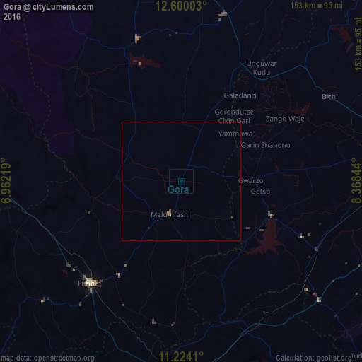
Gora night lights from space
Night Light of Gora (Katsina) from space (Nigeria) Src. Average luminocity for 10x10km area is 0% and for 50x50km: 0.1252%.
Analysis of Gora night lights 2016
Square area 10x10 km:
100  0%
0%
90-99 0%
80-89 0%
70-79 0%
60-69 0%
50-59 0%
40-49 0%
30-39 0%
20-29 0%
10-19 0%
0-9 100%
0%90-99
0%80-89
0%70-79
0%60-69
0%50-59
0%40-49
0%30-39
0%20-29
0%10-19
0%0-9
100%Square area 50x50 km:
100 0%
90-99 0%
80-89 0%
70-79 0%
60-69 0.07%
50-59 0.03%
40-49 0.06%
30-39 0.04%
20-29 0.04%
10-19 0.03%
0-9 99.73%
0%90-99
0%80-89
0%70-79
0%60-69
0.07%50-59
0.03%40-49
0.06%30-39
0.04%20-29
0.04%10-19
0.03%0-9
99.73%Clear (daylight) street map image can be seen on geolist.org.
Map coordinates:
12° 36' 0.1" North, 6° 57' 43.9" East
11° 54' 46.6" North, 7° 39' 55.1" East
11° 13' 26.8" North, 8° 22' 6.4" East
Some cities around Gora sort by population:
• Funtua
57.9 km =36 mi,  221°
221°
• Malumfashi
14.6 km =9.1 mi,  199°
199°
• Gwarzo
29.2 km =18.1 mi,  89°
89°
• Bakori
47.6 km =29.6 mi,  213°
213°
• Danja
60.7 km =37.7 mi,  190°
190°
• Kankara
27.7 km =17.2 mi,  274°
274°
• Musawa
24.1 km =15 mi,  1°
1°
• Jikamshi
31.3 km =19.4 mi,  22°
22°
2340389 (p: 5,867)
Sources (retrieved 2019-11-25):
» Earth at Night: Flat Maps 2012, 2016