Musawa night lights from space
Night Light of Musawa (Katsina) from space (Nigeria) Src. Average luminocity for 10x10km area is 0% and for 50x50km: 0.0017%.
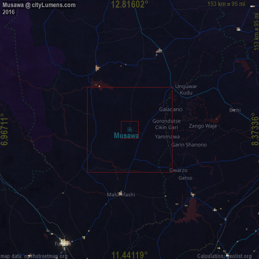
Analysis of Musawa night lights 2016
Square area 10x10 km:
 0%
0%90-99
0%80-89
0%70-79
0%60-69
0%50-59
0%40-49
0%30-39
0%20-29
0%10-19
0%0-9
100%Square area 50x50 km:
0%90-99
0%80-89
0%70-79
0%60-69
0%50-59
0%40-49
0%30-39
0%20-29
0%10-19
0%0-9
100%Clear (daylight) street map image can be seen on geolist.org.
Map coordinates:
12° 48' 57.7" North, 6° 58' 1.6" East
12° 7' 46.2" North, 7° 40' 12.8" East
11° 26' 28.3" North, 8° 22' 24.1" East
Some cities around Musawa sort by population:
• Malumfashi
38.2 km =23.7 mi,  188°
188°
• Gwarzo
37.2 km =23.1 mi,  129°
129°
• Runka
52.8 km =32.8 mi,  312°
312°
• Bakori
69.2 km =43 mi,  202°
202°
• Dutsin-Ma
40.7 km =25.3 mi,  332°
332°
• Kankara
35.8 km =22.2 mi,  231°
231°
• Jikamshi
12.3 km =7.6 mi,  66°
66°
• Gora
24.1 km =15 mi,  181°
181°
2329664 (p: 8,904)
Sources (retrieved 2019-11-25):
» Earth at Night: Flat Maps 2012, 2016