Makoko night lights from space
Night Light of Makoko (Lagos) from space (Nigeria) Src. Average luminocity for 10x10km area is 82.4264% and for 50x50km: 48.911%.
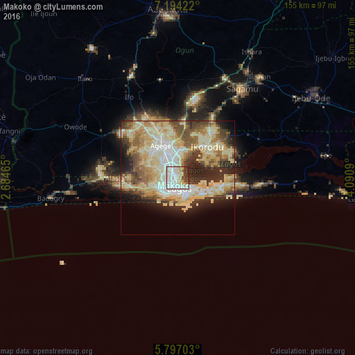
Analysis of Makoko night lights 2016
Square area 10x10 km:
 30.3%
30.3%90-99
30.3%80-89
8.01%70-79
10.82%60-69
0%50-59
1.52%40-49
5.41%30-39
10.61%20-29
3.03%10-19
0%0-9
0%Square area 50x50 km:
6.51%90-99
11.09%80-89
13.75%70-79
7.82%60-69
5.43%50-59
5.8%40-49
5.71%30-39
5.15%20-29
8.5%10-19
6.65%0-9
23.6%Clear (daylight) street map image can be seen on geolist.org.
Map coordinates:
7° 11' 39.2" North, 2° 41' 4.7" East
6° 29' 46" North, 3° 23' 16" East
5° 47' 49.3" North, 4° 5' 27.2" East
Some cities around Makoko sort by population:
• Lagos
4.7 km =2.9 mi,  170°
170°
• Ebute Ikorodu
16.1 km =10 mi,  43°
43°
• Ikeja
12.3 km =7.6 mi,  335°
335°
• Shagamu
48.5 km =30.1 mi, 36°
• Ifo
41.3 km =25.7 mi,  329°
329°
• Iperu
55.3 km =34.4 mi,  33°
33°
• Ado-Odo
50.5 km =31.4 mi,  282°
282°
• Owode
52 km =32.3 mi,  14°
14°
2331158 (p: 85,840)
Sources (retrieved 2019-11-25):
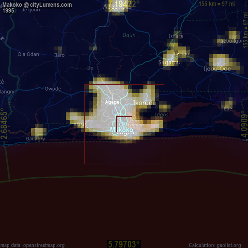
» NASA, Earths city lights 1995
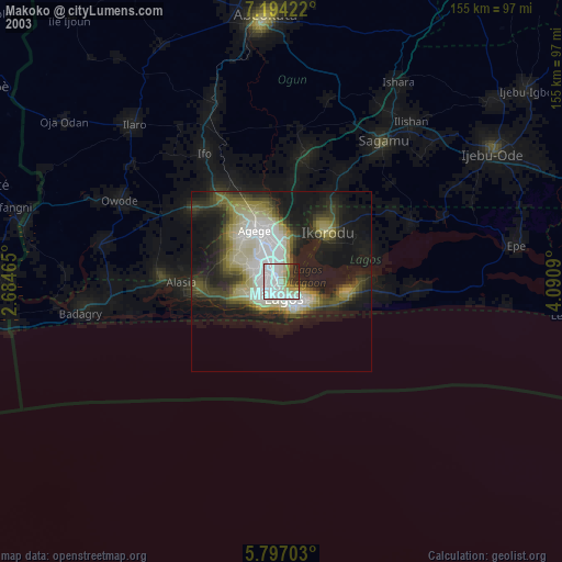
» NASA city lights 2003
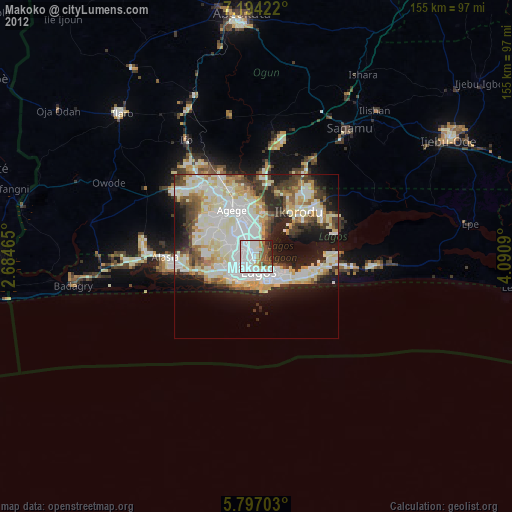
» Earth at Night: Flat Maps 2012, 2016