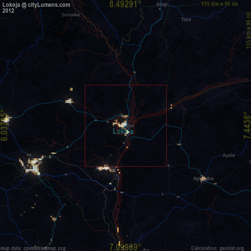
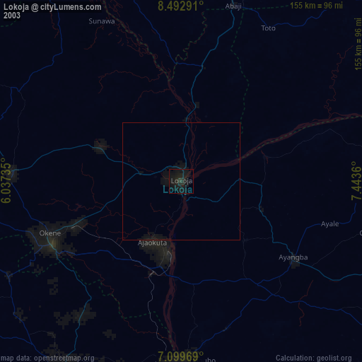
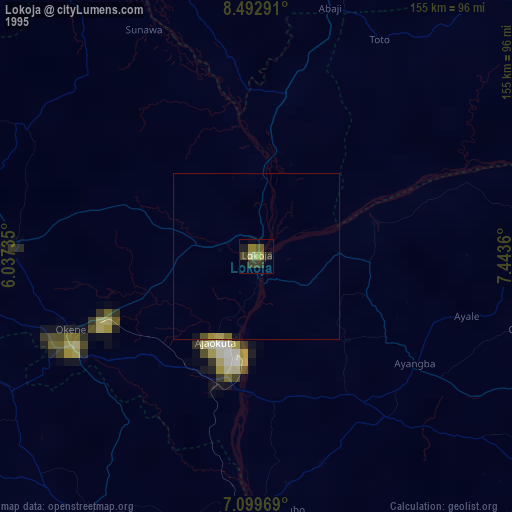
Lokoja night lights from space
Night Light of Lokoja (Kogi) from space (Nigeria) Src. Average luminocity for 10x10km area is 2.2293% and for 50x50km: 0.3595%.
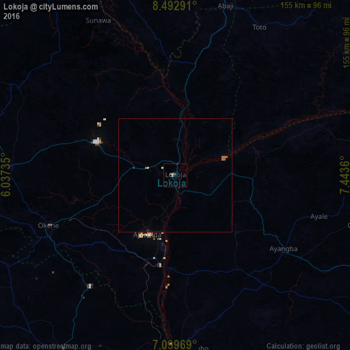
Analysis of Lokoja night lights 2016
Square area 10x10 km:
 0%
0%90-99
0%80-89
0%70-79
0.83%60-69
0.41%50-59
0.41%40-49
0.83%30-39
0.83%20-29
0.41%10-19
0.83%0-9
95.45%Square area 50x50 km:
0%90-99
0.03%80-89
0.03%70-79
0.03%60-69
0.15%50-59
0.08%40-49
0.03%30-39
0.03%20-29
0.1%10-19
0.03%0-9
99.46%Clear (daylight) street map image can be seen on geolist.org.
Map coordinates:
8° 29' 34.5" North, 6° 2' 14.5" East
7° 47' 48.8" North, 6° 44' 25.7" East
7° 5' 58.9" North, 7° 26' 37" East
Some cities around Lokoja sort by population:
• Okene
61.9 km =38.5 mi,  243°
243°
• Ogaminana
61.8 km =38.4 mi,  248°
248°
• Kabba
73.4 km =45.6 mi,  272°
272°
• Ajaokuta
27.7 km =17.2 mi,  199°
199°
• Icheu
10.6 km =6.6 mi,  161°
161°
• Dekina
35.5 km =22.1 mi,  109°
109°
• Koton-Karfe
33.3 km =20.7 mi,  10°
10°
• Abocho
37.2 km =23.1 mi,  133°
133°
2331939 (p: 60,579)
Sources (retrieved 2019-11-25):
» NASA, Earths city lights 1995
» NASA city lights 2003
» Earth at Night: Flat Maps 2012, 2016