Kabba night lights from space
Night Light of Kabba (Kogi) from space (Nigeria) Src. Average luminocity for 10x10km area is 0% and for 50x50km: 0.0024%.
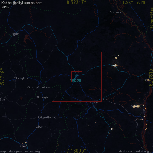
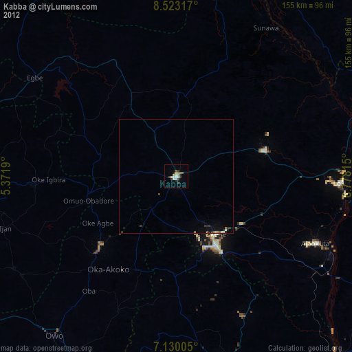
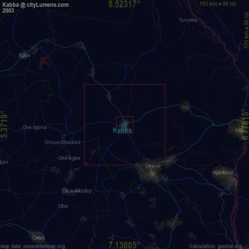
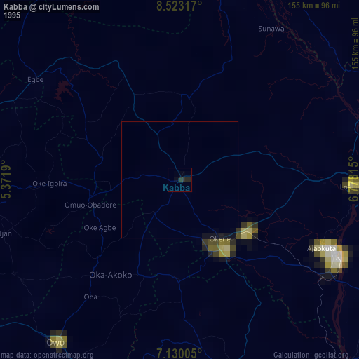
Analysis of Kabba night lights 2016
Square area 10x10 km:
 0%
0%90-99
0%80-89
0%70-79
0%60-69
0%50-59
0%40-49
0%30-39
0%20-29
0%10-19
0%0-9
100%Square area 50x50 km:
0%90-99
0%80-89
0%70-79
0%60-69
0%50-59
0%40-49
0%30-39
0%20-29
0%10-19
0%0-9
100%Clear (daylight) street map image can be seen on geolist.org.
Map coordinates:
8° 31' 23.4" North, 5° 22' 18.8" East
7° 49' 37.9" North, 6° 4' 30.1" East
7° 7' 48.2" North, 6° 46' 41.3" East
Some cities around Kabba sort by population:
• Okene
35.4 km =22 mi,  149°
149°
• Ogaminana
30.4 km =18.9 mi, 148°
• Ode
40.2 km =25 mi,  264°
264°
• Lokoja
73.4 km =45.6 mi,  92°
92°
• Ajaokuta
70.4 km =43.7 mi,  114°
114°
• Isanlu-Itedoijowa
56.3 km =35 mi,  332°
332°
• Igarra
59.4 km =36.9 mi,  176°
176°
• Omuo-Ekiti
39.6 km =24.6 mi, 258°
2335843 (p: 49,869)
Sources (retrieved 2019-11-25):
» NASA, Earths city lights 1995
» NASA city lights 2003
» Earth at Night: Flat Maps 2012, 2016