Icheu night lights from space
Night Light of Icheu (Kogi) from space (Nigeria) Src. Average luminocity for 10x10km area is 0% and for 50x50km: 0.903%.
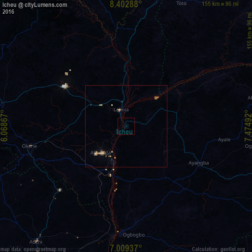
Analysis of Icheu night lights 2016
Square area 10x10 km:
100  0%
0%
90-99 0%
80-89 0%
70-79 0%
60-69 0%
50-59 0%
40-49 0%
30-39 0%
20-29 0%
10-19 0%
0-9 100%
0%90-99
0%80-89
0%70-79
0%60-69
0%50-59
0%40-49
0%30-39
0%20-29
0%10-19
0%0-9
100%Square area 50x50 km:
100 0%
90-99 0.04%
80-89 0.18%
70-79 0.16%
60-69 0.28%
50-59 0.15%
40-49 0.24%
30-39 0.03%
20-29 0.17%
10-19 0.07%
0-9 98.69%
0%90-99
0.04%80-89
0.18%70-79
0.16%60-69
0.28%50-59
0.15%40-49
0.24%30-39
0.03%20-29
0.17%10-19
0.07%0-9
98.69%Clear (daylight) street map image can be seen on geolist.org.
Map coordinates:
8° 24' 10.4" North, 6° 4' 7.2" East
7° 42' 24.1" North, 6° 46' 18.5" East
7° 0' 33.7" North, 7° 28' 29.7" East
Some cities around Icheu sort by population:
• Okene
61.5 km =38.2 mi,  253°
253°
• Ogaminana
62.3 km =38.7 mi,  258°
258°
• Idah
66.1 km =41.1 mi,  183°
183°
• Lokoja
10.6 km =6.6 mi,  341°
341°
• Ajaokuta
20.6 km =12.8 mi,  218°
218°
• Dekina
30 km =18.6 mi,  93°
93°
• Koton-Karfe
42.8 km =26.6 mi,  3°
3°
• Abocho
28.2 km =17.5 mi,  123°
123°
2339170 (p: 14,704)
Sources (retrieved 2019-11-25):
» Earth at Night: Flat Maps 2012, 2016