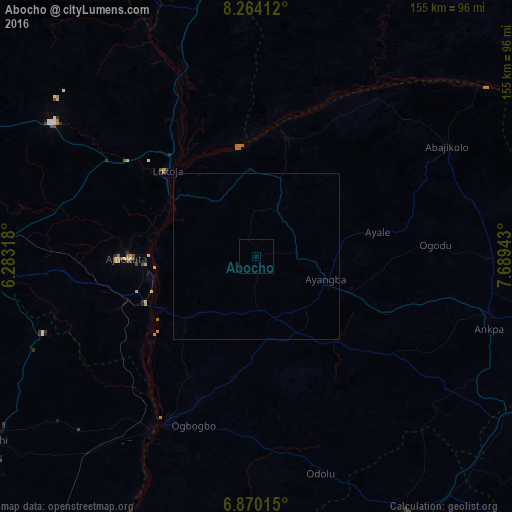
Abocho night lights from space
Night Light of Abocho (Kogi) from space (Nigeria) Src. Average luminocity for 10x10km area is 0% and for 50x50km: 0.0004%.
Analysis of Abocho night lights 2016
Square area 10x10 km:
100  0%
0%
90-99 0%
80-89 0%
70-79 0%
60-69 0%
50-59 0%
40-49 0%
30-39 0%
20-29 0%
10-19 0%
0-9 100%
0%90-99
0%80-89
0%70-79
0%60-69
0%50-59
0%40-49
0%30-39
0%20-29
0%10-19
0%0-9
100%Square area 50x50 km:
100 0%
90-99 0%
80-89 0%
70-79 0%
60-69 0%
50-59 0%
40-49 0%
30-39 0%
20-29 0%
10-19 0%
0-9 100%
0%90-99
0%80-89
0%70-79
0%60-69
0%50-59
0%40-49
0%30-39
0%20-29
0%10-19
0%0-9
100%Clear (daylight) street map image can be seen on geolist.org.
Map coordinates:
8° 15' 50.8" North, 6° 16' 59.4" East
7° 34' 3.7" North, 6° 59' 10.7" East
6° 52' 12.5" North, 7° 41' 21.9" East
Some cities around Abocho sort by population:
• Idah
57.4 km =35.7 mi,  208°
208°
• Lokoja
37.2 km =23.1 mi,  313°
313°
• Ajaokuta
36.5 km =22.7 mi,  269°
269°
• Icheu
28.2 km =17.5 mi,  303°
303°
• Agenebode
60.7 km =37.7 mi, 212°
• Dekina
15 km =9.3 mi,  25°
25°
• Koton-Karfe
61.8 km =38.4 mi,  340°
340°
• Adoru
68.5 km =42.6 mi,  163°
163°
2352857 (p: 6,801)
Sources (retrieved 2019-11-25):
» Earth at Night: Flat Maps 2012, 2016