Kachia night lights from space
Night Light of Kachia (Kaduna) from space (Nigeria) Src. Average luminocity for 10x10km area is 0% and for 50x50km: 0.0067%.
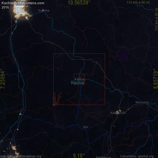

Analysis of Kachia night lights 2016
Square area 10x10 km:
100  0%
0%
90-99 0%
80-89 0%
70-79 0%
60-69 0%
50-59 0%
40-49 0%
30-39 0%
20-29 0%
10-19 0%
0-9 100%
0%90-99
0%80-89
0%70-79
0%60-69
0%50-59
0%40-49
0%30-39
0%20-29
0%10-19
0%0-9
100%Square area 50x50 km:
100 0%
90-99 0%
80-89 0%
70-79 0%
60-69 0%
50-59 0%
40-49 0%
30-39 0.01%
20-29 0%
10-19 0.02%
0-9 99.97%
0%90-99
0%80-89
0%70-79
0%60-69
0%50-59
0%40-49
0%30-39
0.01%20-29
0%10-19
0.02%0-9
99.97%Clear (daylight) street map image can be seen on geolist.org.
Map coordinates:
10° 33' 55.4" North, 7° 15' 3.4" East
9° 52' 24.3" North, 7° 57' 14.7" East
9° 10' 48" North, 8° 39' 25.9" East
Some cities around Kachia sort by population:
• Kaduna
91.9 km =57.1 mi,  322°
322°
• Lere
88.5 km =55 mi,  49°
49°
• Kafanchan
49.3 km =30.6 mi,  131°
131°
• Kagoro
56.2 km =34.9 mi,  121°
121°
• Bukuru
100.1 km =62.2 mi,  95°
95°
• Kajuru
58 km =36 mi,  329°
329°
• Kujama
73.6 km =45.7 mi, 331°
• Vom
93.1 km =57.8 mi, 99°
2335798 (p: 30,893)
Sources (retrieved 2019-11-25):
» Earth at Night: Flat Maps 2012, 2016