Ibadan night lights from space
Night Light of Ibadan (Oyo) from space (Nigeria) Src. Average luminocity for 10x10km area is 56.4199% and for 50x50km: 7.8049%.
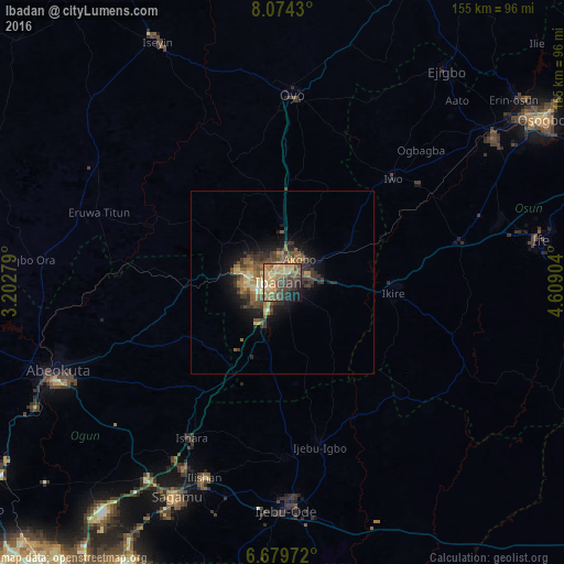
Analysis of Ibadan night lights 2016
Square area 10x10 km:
 0%
0%90-99
2.81%80-89
25.32%70-79
8.66%60-69
13.42%50-59
9.09%40-49
12.77%30-39
11.9%20-29
6.49%10-19
8.23%0-9
1.3%Square area 50x50 km:
0.05%90-99
0.51%80-89
1.5%70-79
1.13%60-69
1.5%50-59
1.98%40-49
1.81%30-39
2.41%20-29
1.86%10-19
4.19%0-9
83.05%Clear (daylight) street map image can be seen on geolist.org.
Map coordinates:
8° 4' 27.5" North, 3° 12' 10" East
7° 22' 39.2" North, 3° 54' 21.3" East
6° 40' 47" North, 4° 36' 32.5" East
Some cities around Ibadan sort by population:
• Iwo
41.8 km =26 mi,  46°
46°
• Ikire
30.9 km =19.2 mi,  91°
91°
• Modakeke
39.1 km =24.3 mi, 89°
• Ijebu-Igbo
46.3 km =28.8 mi,  167°
167°
• Olupona
39.3 km =24.4 mi, 51°
• Lalupon
20.3 km =12.6 mi,  60°
60°
• Apomu
30.7 km =19.1 mi,  95°
95°
• Fiditi
37.4 km =23.2 mi,  1°
1°
2339354 (p: 3,565,108)
Sources (retrieved 2019-11-25):
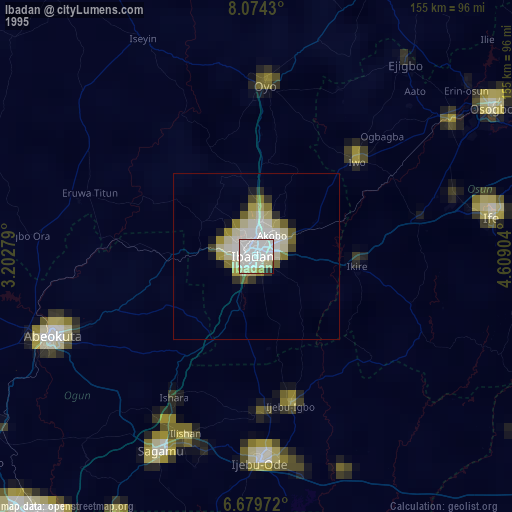
» NASA, Earths city lights 1995
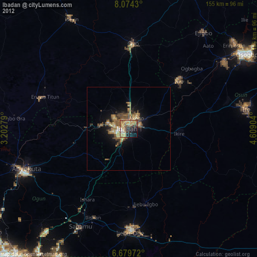
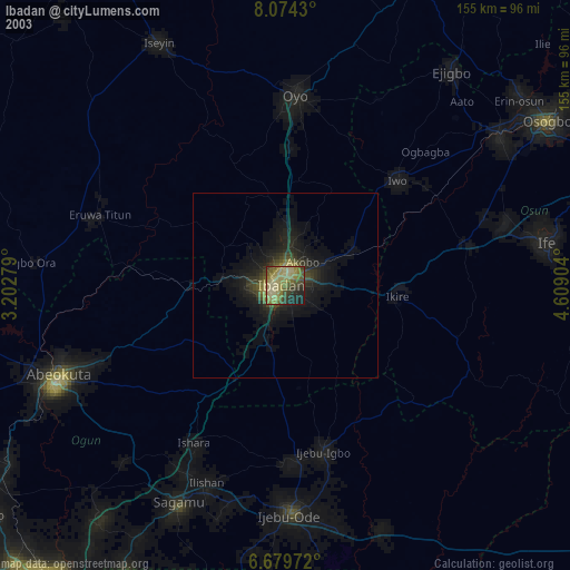
» NASA city lights 2003
» Earth at Night: Flat Maps 2012, 2016