Damasak night lights from space
Night Light of Damasak (Borno) from space (Nigeria) Src. Average luminocity for 10x10km area is 0% and for 50x50km: 0.0495%.
Analysis of Damasak night lights 2016
Square area 10x10 km:
 0%
0%90-99
0%80-89
0%70-79
0%60-69
0%50-59
0%40-49
0%30-39
0%20-29
0%10-19
0%0-9
100%Square area 50x50 km:
0%90-99
0%80-89
0%70-79
0%60-69
0.03%50-59
0%40-49
0.03%30-39
0.04%20-29
0%10-19
0%0-9
99.9%Clear (daylight) street map image can be seen on geolist.org.
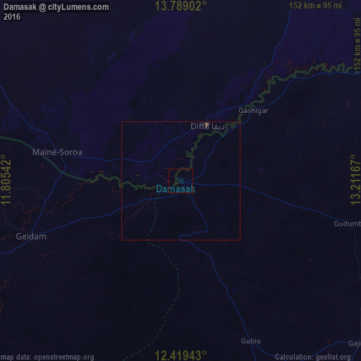
Map coordinates:
13° 47' 20.5" North, 11° 48' 19.5" East
13° 6' 18.6" North, 12° 30' 30.7" East
12° 25' 9.9" North, 13° 12' 42" East
Some cities around Damasak sort by population:
• Geidam
67.3 km =41.8 mi,  249°
249°
• Diffa, NE
25.9 km =16.1 mi,  25°
25°
• Monguno
129 km =80.2 mi,  111°
111°
• Magumeri
115.4 km =71.7 mi,  162°
162°
• Kukawa
116.3 km =72.3 mi,  99°
99°
• Dapchi
128.7 km =80 mi,  238°
238°
• Maïné Soroa, NE
53.8 km =33.4 mi,  282°
282°
• Bornu Yassu
92.5 km =57.5 mi,  175°
175°
2345526 (p: 13,874)
Sources (retrieved 2019-11-25):
» Earth at Night: Flat Maps 2012, 2016