Sokoto night lights from space
Night Light of Sokoto from space (Nigeria) Src. Average luminocity for 10x10km area is 46.3333% and for 50x50km: 3.2606%.
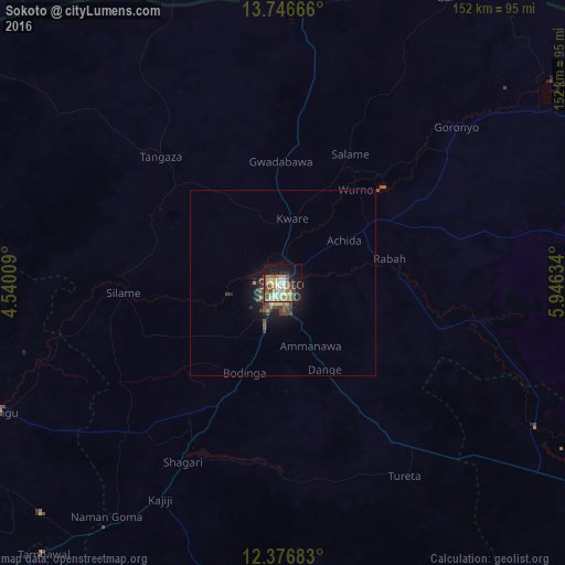
Analysis of Sokoto night lights 2016
Square area 10x10 km:
 4.55%
4.55%90-99
11.04%80-89
6.49%70-79
8.01%60-69
8.44%50-59
6.49%40-49
7.36%30-39
5.41%20-29
4.55%10-19
27.71%0-9
9.96%Square area 50x50 km:
0.18%90-99
0.48%80-89
0.33%70-79
0.48%60-69
0.45%50-59
0.53%40-49
0.86%30-39
0.73%20-29
0.49%10-19
2.71%0-9
92.77%Clear (daylight) street map image can be seen on geolist.org.
Map coordinates:
13° 44' 48" North, 4° 32' 24.3" East
13° 3' 45.7" North, 5° 14' 35.6" East
12° 22' 36.6" North, 5° 56' 46.8" East
Some cities around Sokoto sort by population:
• Gwadabawa
32.9 km =20.4 mi,  359°
359°
• Illela
74.5 km =46.3 mi,  4°
4°
• Gandi
55.3 km =34.4 mi,  101°
101°
• Wurno
32 km =19.9 mi,  37°
37°
• Dange
25.8 km =16 mi,  154°
154°
• Goronyo
62.8 km =39 mi,  47°
47°
• Rabah
29.4 km =18.3 mi,  76°
76°
• Binji
40.3 km =25 mi,  296°
296°
2322911 (p: 563,861)
Sources (retrieved 2019-11-25):
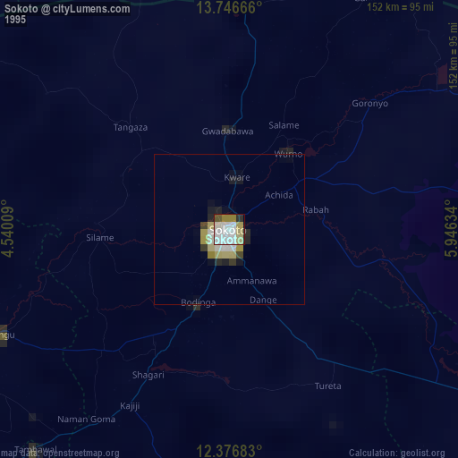
» NASA, Earths city lights 1995
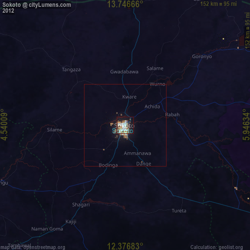
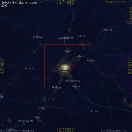
» NASA city lights 2003
» Earth at Night: Flat Maps 2012, 2016