Opi night lights from space
Night Light of Opi (Enugu) from space (Nigeria) Src. Average luminocity for 10x10km area is 0% and for 50x50km: 0.1419%.
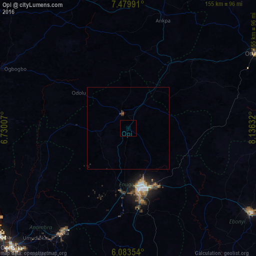
Analysis of Opi night lights 2016
Square area 10x10 km:
100  0%
0%
90-99 0%
80-89 0%
70-79 0%
60-69 0%
50-59 0%
40-49 0%
30-39 0%
20-29 0%
10-19 0%
0-9 100%
0%90-99
0%80-89
0%70-79
0%60-69
0%50-59
0%40-49
0%30-39
0%20-29
0%10-19
0%0-9
100%Square area 50x50 km:
100 0%
90-99 0%
80-89 0%
70-79 0%
60-69 0%
50-59 0.03%
40-49 0.1%
30-39 0.1%
20-29 0.07%
10-19 0.07%
0-9 99.62%
0%90-99
0%80-89
0%70-79
0%60-69
0%50-59
0.03%40-49
0.1%30-39
0.1%20-29
0.07%10-19
0.07%0-9
99.62%Clear (daylight) street map image can be seen on geolist.org.
Map coordinates:
7° 28' 47.7" North, 6° 43' 48.3" East
6° 46' 56" North, 7° 25' 59.5" East
6° 5' 0.7" North, 8° 8' 10.8" East
Some cities around Opi sort by population:
• Nsukka
9.4 km =5.8 mi,  333°
333°
• Aku
15.1 km =9.4 mi,  237°
237°
• Eha Amufu
38.6 km =24 mi,  110°
110°
• Enugu-Ezike
22.4 km =13.9 mi,  6°
6°
• Ete
34.2 km =21.3 mi,  3°
3°
• Adoru
36.9 km =22.9 mi,  305°
305°
• Ikem
31.1 km =19.3 mi,  90°
90°
• Obolo-Eke (1)
24.8 km =15.4 mi,  63°
63°
2325902 (p: 11,237)
Sources (retrieved 2019-11-25):
» Earth at Night: Flat Maps 2012, 2016