Dengi night lights from space
Night Light of Dengi (Plateau) from space (Nigeria) Src. Average luminocity for 10x10km area is 0% and for 50x50km: 0%.
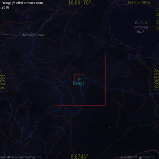
Analysis of Dengi night lights 2016
Square area 10x10 km:
100  0%
0%
90-99 0%
80-89 0%
70-79 0%
60-69 0%
50-59 0%
40-49 0%
30-39 0%
20-29 0%
10-19 0%
0-9 100%
0%90-99
0%80-89
0%70-79
0%60-69
0%50-59
0%40-49
0%30-39
0%20-29
0%10-19
0%0-9
100%Square area 50x50 km:
100 0%
90-99 0%
80-89 0%
70-79 0%
60-69 0%
50-59 0%
40-49 0%
30-39 0%
20-29 0%
10-19 0%
0-9 100%
0%90-99
0%80-89
0%70-79
0%60-69
0%50-59
0%40-49
0%30-39
0%20-29
0%10-19
0%0-9
100%Clear (daylight) street map image can be seen on geolist.org.
Map coordinates:
10° 3' 42.3" North, 9° 15' 32.8" East
9° 22' 7.4" North, 9° 57' 44" East
8° 40' 27.5" North, 10° 39' 55.3" East
Some cities around Dengi sort by population:
• Pankshin
58 km =36 mi,  265°
265°
• Lere
78.1 km =48.5 mi,  299°
299°
• Yelwa
69.6 km =43.2 mi,  211°
211°
• Langtang
31.5 km =19.6 mi,  216°
216°
• Amper
28.7 km =17.8 mi, 266°
• Yuli
50 km =31.1 mi,  43°
43°
• Bununu
64.9 km =40.3 mi,  331°
331°
• Boi
54.9 km =34.1 mi,  292°
292°
2344941 (p: 6,276)
Sources (retrieved 2019-11-25):
» Earth at Night: Flat Maps 2012, 2016