Dindima night lights from space
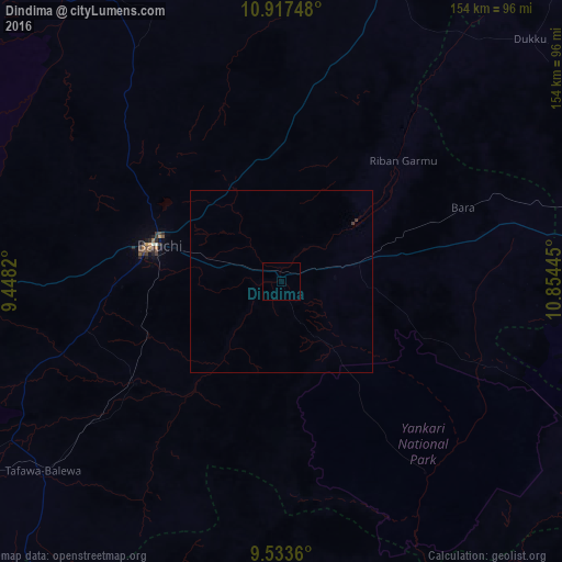
Night Light of Dindima (Bauchi) from space (Nigeria) Src. Average luminocity for 10x10km area is 0% and for 50x50km: 0.0303%.
Analysis of Dindima night lights 2016
Square area 10x10 km:
100  0%
0%
90-99 0%
80-89 0%
70-79 0%
60-69 0%
50-59 0%
40-49 0%
30-39 0%
20-29 0%
10-19 0%
0-9 100%
0%90-99
0%80-89
0%70-79
0%60-69
0%50-59
0%40-49
0%30-39
0%20-29
0%10-19
0%0-9
100%Square area 50x50 km:
100 0%
90-99 0%
80-89 0%
70-79 0%
60-69 0%
50-59 0%
40-49 0%
30-39 0.07%
20-29 0%
10-19 0%
0-9 99.93%
0%90-99
0%80-89
0%70-79
0%60-69
0%50-59
0%40-49
0%30-39
0.07%20-29
0%10-19
0%0-9
99.93%Clear (daylight) street map image can be seen on geolist.org.
Map coordinates:
10° 55' 2.9" North, 9° 26' 53.5" East
10° 13' 34.6" North, 10° 9' 4.8" East
9° 32' 1" North, 10° 51' 16" East
Some cities around Dindima sort by population:
• Bauchi
34.9 km =21.7 mi,  285°
285°
• Zalanga
43.2 km =26.8 mi,  3°
3°
• Bara
65.3 km =40.6 mi,  75°
75°
• Yuli
60.3 km =37.5 mi,  167°
167°
• Dass
73.9 km =45.9 mi,  250°
250°
• Yamrat
37.8 km =23.5 mi, 250°
• Gwaram
14.7 km =9.1 mi,  87°
87°
• Bununu
64.2 km =39.9 mi,  233°
233°
2344804 (p: 13,356)
Sources (retrieved 2019-11-25):
» Earth at Night: Flat Maps 2012, 2016