Awka night lights from space
Night Light of Awka (Anambra) from space (Nigeria) Src. Average luminocity for 10x10km area is 18.9525% and for 50x50km: 1.9648%.
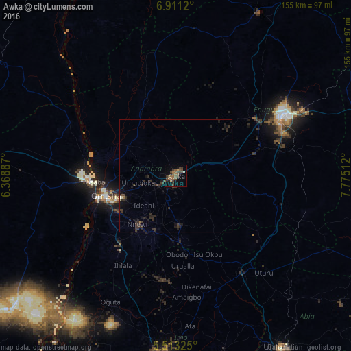
Analysis of Awka night lights 2016
Square area 10x10 km:
 0%
0%90-99
0.21%80-89
1.86%70-79
0.62%60-69
3.72%50-59
7.64%40-49
8.06%30-39
6.4%20-29
2.89%10-19
3.72%0-9
64.88%Square area 50x50 km:
0%90-99
0.04%80-89
0.11%70-79
0.03%60-69
0.22%50-59
0.35%40-49
0.47%30-39
1.28%20-29
1.1%10-19
1.11%0-9
95.29%Clear (daylight) street map image can be seen on geolist.org.
Map coordinates:
6° 54' 40.3" North, 6° 22' 7.9" East
6° 12' 45.7" North, 7° 4' 19.2" East
5° 30' 47.7" North, 7° 46' 30.4" East
Some cities around Awka sort by population:
• Onitsha
32.4 km =20.1 mi,  257°
257°
• Nnewi
27.4 km =17 mi,  218°
218°
• Nkpor
27.6 km =17.1 mi, 255°
• Agulu
12.5 km =7.8 mi,  185°
185°
• Igbo-Ukwu
22.4 km =13.9 mi, 194°
• Ozubulu
37.3 km =23.2 mi, 220°
• Enugu-Ukwu
8.7 km =5.4 mi,  238°
238°
• Uga
30.8 km =19.1 mi,  178°
178°
2348773 (p: 167,738)
Sources (retrieved 2019-11-25):
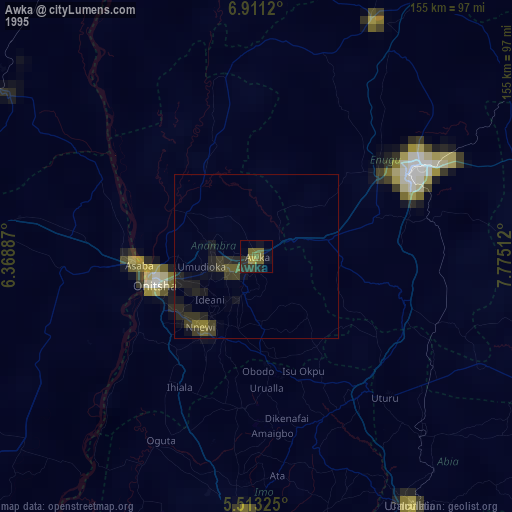
» NASA, Earths city lights 1995
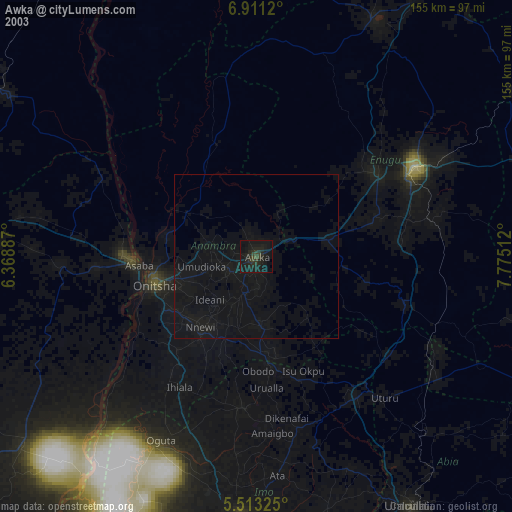
» NASA city lights 2003
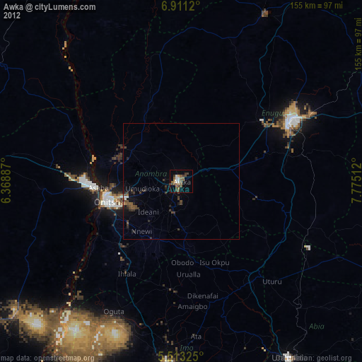
» Earth at Night: Flat Maps 2012, 2016