Agbabu night lights from space
Night Light of Agbabu (Ondo) from space (Nigeria) Src. Average luminocity for 10x10km area is 0% and for 50x50km: 0.0684%.
Analysis of Agbabu night lights 2016
Square area 10x10 km:
100  0%
0%
90-99 0%
80-89 0%
70-79 0%
60-69 0%
50-59 0%
40-49 0%
30-39 0%
20-29 0%
10-19 0%
0-9 100%
0%90-99
0%80-89
0%70-79
0%60-69
0%50-59
0%40-49
0%30-39
0%20-29
0%10-19
0%0-9
100%Square area 50x50 km:
100 0%
90-99 0%
80-89 0%
70-79 0.03%
60-69 0%
50-59 0%
40-49 0.01%
30-39 0.08%
20-29 0.02%
10-19 0.03%
0-9 99.83%
0%90-99
0%80-89
0%70-79
0.03%60-69
0%50-59
0%40-49
0.01%30-39
0.08%20-29
0.02%10-19
0.03%0-9
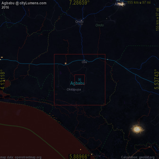
99.83%Clear (daylight) street map image can be seen on geolist.org.
Map coordinates:
7° 17' 11.7" North, 4° 7' 52.2" East
6° 35' 19" North, 4° 50' 3.5" East
5° 53' 22.8" North, 5° 32' 14.7" East
Some cities around Agbabu sort by population:
• Benin City
91.8 km =57 mi,  107°
107°
• Akure
83.8 km =52.1 mi,  28°
28°
• Ondo
56.1 km =34.9 mi,  0°
0°
• Idanre
66 km =41 mi, 28°
• Ore
18.2 km =11.3 mi,  14°
14°
• Siluko
36.5 km =22.7 mi,  99°
99°
• Ilare
90.2 km =56 mi,  19°
19°
• Ijebu-Ife
90.9 km =56.5 mi,  283°
283°
2352110 (p: 8,611)
Sources (retrieved 2019-11-25):
» Earth at Night: Flat Maps 2012, 2016