Akure night lights from space
Night Light of Akure (Ondo) from space (Nigeria) Src. Average luminocity for 10x10km area is 13.2749% and for 50x50km: 0.5821%.
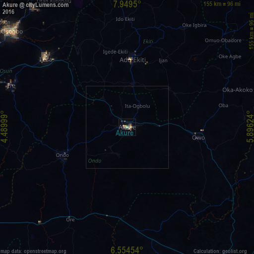
Analysis of Akure night lights 2016
Square area 10x10 km:
 0%
0%90-99
1.3%80-89
2.6%70-79
1.52%60-69
2.38%50-59
1.73%40-49
3.9%30-39
4.55%20-29
1.95%10-19
1.52%0-9
78.57%Square area 50x50 km:
0%90-99
0.05%80-89
0.1%70-79
0.06%60-69
0.1%50-59
0.07%40-49
0.16%30-39
0.18%20-29
0.11%10-19
0.15%0-9
99.02%Clear (daylight) street map image can be seen on geolist.org.
Map coordinates:
7° 56' 58.2" North, 4° 29' 24" East
7° 15' 9.2" North, 5° 11' 35.2" East
6° 33' 16.3" North, 5° 53' 46.5" East
Some cities around Akure sort by population:
• Ado-Ekiti
41.3 km =25.7 mi,  4°
4°
• Ondo
43.3 km =26.9 mi,  245°
245°
• Ise-Ekiti
34.7 km =21.6 mi,  47°
47°
• Ikere-Ekiti
27.5 km =17.1 mi,  8°
8°
• Emure-Ekiti
35.8 km =22.2 mi,  55°
55°
• Idanre
17.7 km =11 mi,  208°
208°
• Igbara-Odo
31.3 km =19.4 mi,  332°
332°
• Ilare
14 km =8.7 mi,  321°
321°
2350841 (p: 420,594)
Sources (retrieved 2019-11-25):
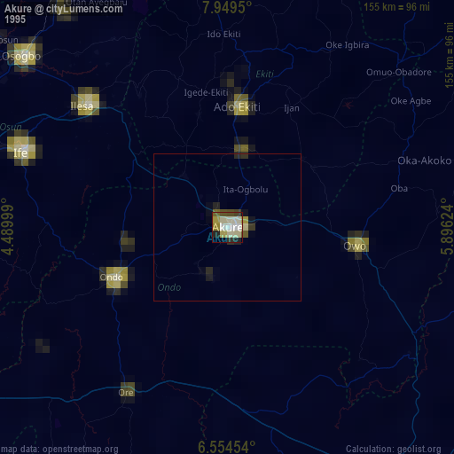
» NASA, Earths city lights 1995
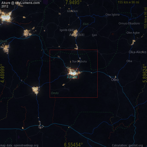
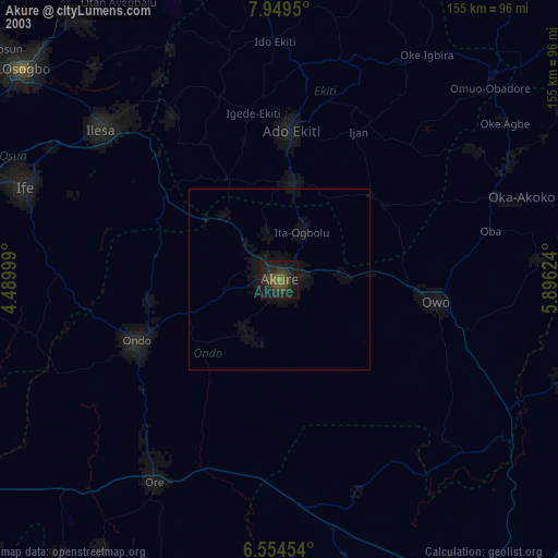
» NASA city lights 2003
» Earth at Night: Flat Maps 2012, 2016