Ilare night lights from space
Night Light of Ilare (Ondo) from space (Nigeria) Src. Average luminocity for 10x10km area is 0.1775% and for 50x50km: 0.5665%.
Analysis of Ilare night lights 2016
Square area 10x10 km:
 0%
0%90-99
0%80-89
0%70-79
0%60-69
0%50-59
0%40-49
0%30-39
0%20-29
0%10-19
0.87%0-9
99.13%Square area 50x50 km:
0%90-99
0.05%80-89
0.1%70-79
0.06%60-69
0.09%50-59
0.07%40-49
0.15%30-39
0.18%20-29
0.11%10-19
0.11%0-9
99.07%Clear (daylight) street map image can be seen on geolist.org.
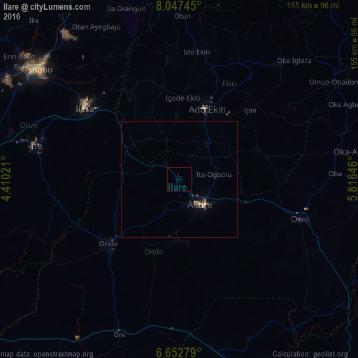
Map coordinates:
8° 2' 50.8" North, 4° 24' 36.8" East
7° 21' 2.4" North, 5° 6' 48" East
6° 39' 10" North, 5° 48' 59.3" East
Some cities around Ilare sort by population:
• Ado-Ekiti
32.5 km =20.2 mi,  21°
21°
• Akure
14 km =8.7 mi,  141°
141°
• Ise-Ekiti
36.5 km =22.7 mi,  69°
69°
• Ikere-Ekiti
20.8 km =12.9 mi,  38°
38°
• Emure-Ekiti
39.3 km =24.4 mi,  75°
75°
• Igede-Ekiti
35.4 km =22 mi,  2°
2°
• Idanre
26.5 km =16.5 mi,  179°
179°
• Igbara-Odo
17.8 km =11.1 mi,  341°
341°
2337762 (p: 7,685)
Sources (retrieved 2019-11-25):
» Earth at Night: Flat Maps 2012, 2016