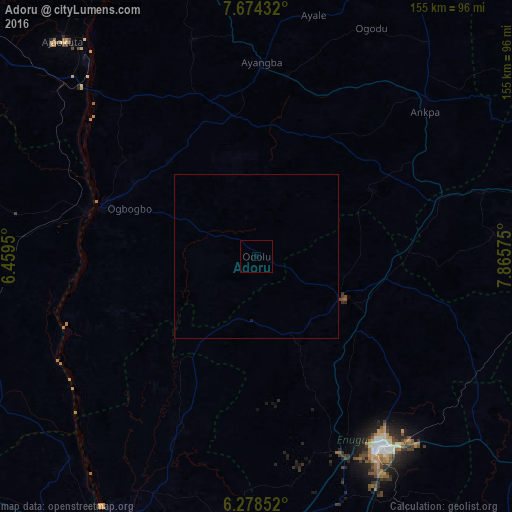
Adoru night lights from space
Night Light of Adoru (Kogi) from space (Nigeria) Src. Average luminocity for 10x10km area is 0% and for 50x50km: 0.0098%.
Analysis of Adoru night lights 2016
Square area 10x10 km:
100  0%
0%
90-99 0%
80-89 0%
70-79 0%
60-69 0%
50-59 0%
40-49 0%
30-39 0%
20-29 0%
10-19 0%
0-9 100%
0%90-99
0%80-89
0%70-79
0%60-69
0%50-59
0%40-49
0%30-39
0%20-29
0%10-19
0%0-9
100%Square area 50x50 km:
100 0%
90-99 0%
80-89 0%
70-79 0%
60-69 0%
50-59 0%
40-49 0%
30-39 0%
20-29 0%
10-19 0.03%
0-9 99.97%
0%90-99
0%80-89
0%70-79
0%60-69
0%50-59
0%40-49
0%30-39
0%20-29
0%10-19
0.03%0-9
99.97%Clear (daylight) street map image can be seen on geolist.org.
Map coordinates:
7° 40' 27.6" North, 6° 27' 34.2" East
6° 58' 37" North, 7° 9' 45.4" East
6° 16' 42.7" North, 7° 51' 56.7" East
Some cities around Adoru sort by population:
• Nsukka
28.9 km =18 mi,  117°
117°
• Aku
34.4 km =21.4 mi,  150°
150°
• Idah
49.2 km =30.6 mi,  287°
287°
• Enugu-Ezike
32.3 km =20.1 mi,  88°
88°
• Opi
36.9 km =22.9 mi,  125°
125°
• Ete
34.4 km =21.4 mi,  68°
68°
• Ogurugu
31.6 km =19.6 mi,  227°
227°
• Adani
31.2 km =19.4 mi,  212°
212°
2352352 (p: 8,203)
Sources (retrieved 2019-11-25):
» Earth at Night: Flat Maps 2012, 2016