Grootfontein night lights from space
Night Light of Grootfontein (Otjozondjupa) from space (Namibia) Src. Average luminocity for 10x10km area is 19.0227% and for 50x50km: 0.8588%.

Analysis of Grootfontein night lights 2016
Square area 10x10 km:
 1.24%
1.24%90-99
2.89%80-89
7.23%70-79
0.21%60-69
2.07%50-59
1.86%40-49
3.1%30-39
2.48%20-29
1.24%10-19
5.79%0-9
71.9%Square area 50x50 km:
0.05%90-99
0.11%80-89
0.28%70-79
0.01%60-69
0.08%50-59
0.07%40-49
0.14%30-39
0.18%20-29
0.05%10-19
0.24%0-9
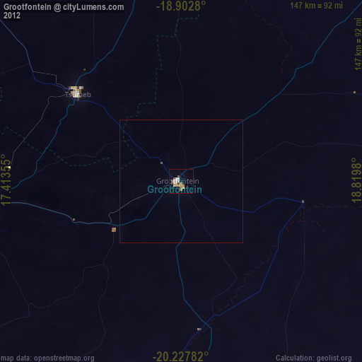
98.79%Clear (daylight) street map image can be seen on geolist.org.
Map coordinates:
18° 54' 10.1" South, 17° 24' 48.8" East
19° 34' 0" South, 18° 7' 0" East
20° 13' 40.2" South, 18° 49' 11.3" East
Some cities around Grootfontein sort by population:
• Rundu
251.3 km =156.2 mi,  43°
43°
• Otjiwarongo
183 km =113.7 mi,  236°
236°
• Tsumeb
56 km =34.8 mi,  311°
311°
• Ondangwa
292.7 km =181.9 mi, 308°
• Outjo
214.6 km =133.3 mi,  253°
253°
• Okakarara
133.7 km =83.1 mi,  212°
212°
• Omuthiya
209.6 km =130.2 mi, 309°
• Nkurenkuru
222.7 km =138.4 mi,  13°
13°
3357114 (p: 24,099)
Sources (retrieved 2019-11-25):
» Earth at Night: Flat Maps 2012, 2016