Nkurenkuru night lights from space
Night Light of Nkurenkuru (Kavango West) from space (Namibia) Src. Average luminocity for 10x10km area is 2.564% and for 50x50km: 0.1749%.
Analysis of Nkurenkuru night lights 2016
Square area 10x10 km:
 0%
0%90-99
0%80-89
0.83%70-79
0.83%60-69
0%50-59
0.41%40-49
0.41%30-39
1.65%20-29
0%10-19
0%0-9
95.87%Square area 50x50 km:
0%90-99
0%80-89
0.08%70-79
0.03%60-69
0%50-59
0.02%40-49
0.02%30-39
0.1%20-29
0.06%10-19
0.01%0-9
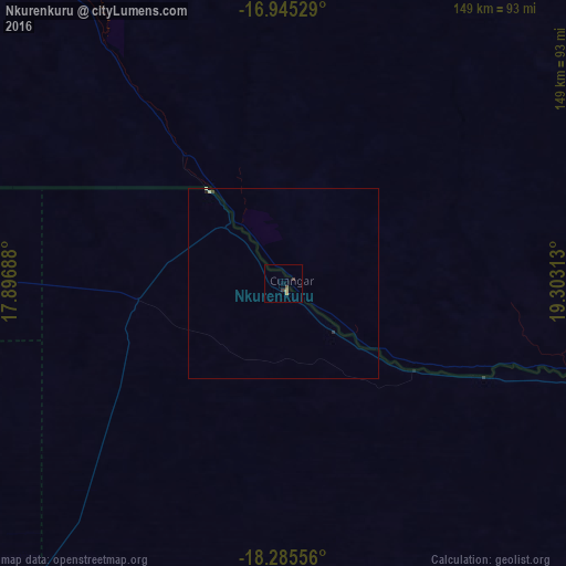
99.69%Clear (daylight) street map image can be seen on geolist.org.
Map coordinates:
16° 56' 43" South, 17° 53' 48.8" East
17° 37' 0" South, 18° 36' 0" East
18° 17' 8" South, 19° 18' 11.3" East
Some cities around Nkurenkuru sort by population:
• Rundu
128.4 km =79.8 mi,  105°
105°
• Oshakati
307.3 km =190.9 mi,  266°
266°
• Grootfontein
222.7 km =138.4 mi,  193°
193°
• Tsumeb
202.5 km =125.8 mi,  207°
207°
• Ongwediva
300.7 km =186.8 mi, 266°
• Ondangwa
282.6 km =175.6 mi,  263°
263°
• Omuthiya
229.1 km =142.4 mi,  248°
248°
• Eenhana
240.9 km =149.7 mi, 273°
3355137 (p: 0)
Sources (retrieved 2019-11-25):
» Earth at Night: Flat Maps 2012, 2016