Oshakati night lights from space
Night Light of Oshakati (Oshana) from space (Namibia) Src. Average luminocity for 10x10km area is 34.0476% and for 50x50km: 2.3646%.
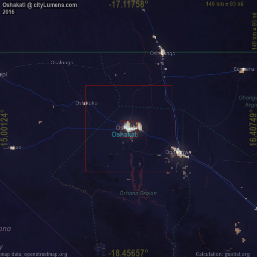
Analysis of Oshakati night lights 2016
Square area 10x10 km:
 6.71%
6.71%90-99
7.36%80-89
5.41%70-79
2.38%60-69
3.25%50-59
1.73%40-49
0.43%30-39
4.33%20-29
6.93%10-19
45.45%0-9
16.02%Square area 50x50 km:
0.34%90-99
0.39%80-89
0.34%70-79
0.17%60-69
0.18%50-59
0.07%40-49
0.11%30-39
0.43%20-29
0.57%10-19
2.65%0-9
94.75%Clear (daylight) street map image can be seen on geolist.org.
Map coordinates:
17° 7' 3.3" South, 15° 0' 4.5" East
17° 47' 18" South, 15° 42' 15.7" East
18° 27' 23.7" South, 16° 24' 27" East
Some cities around Oshakati sort by population:
• Ondjiva, AO
80.3 km =49.9 mi,  2°
2°
• Ongwediva
6.6 km =4.1 mi,  85°
85°
• Ondangwa
29.7 km =18.5 mi,  118°
118°
• Okahao
68.4 km =42.5 mi,  260°
260°
• Opuwo
199.5 km =124 mi, 261°
• Omuthiya
112.7 km =70 mi, 124°
• Outapi
82.9 km =51.5 mi,  292°
292°
• Eenhana
75.6 km =47 mi,  61°
61°
3354021 (p: 33,618)
Sources (retrieved 2019-11-25):
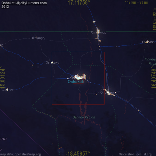
» Earth at Night: Flat Maps 2012, 2016