Omuthiya night lights from space
Night Light of Omuthiya (Oshikoto) from space (Namibia) Src. Average luminocity for 10x10km area is 5.2273% and for 50x50km: 0.4539%.
Analysis of Omuthiya night lights 2016
Square area 10x10 km:
 0%
0%90-99
0%80-89
4.13%70-79
0%60-69
0%50-59
0.83%40-49
0%30-39
1.65%20-29
0%10-19
0%0-9
93.39%Square area 50x50 km:
0%90-99
0%80-89
0.16%70-79
0%60-69
0.04%50-59
0.35%40-49
0.03%30-39
0.06%20-29
0%10-19
0%0-9
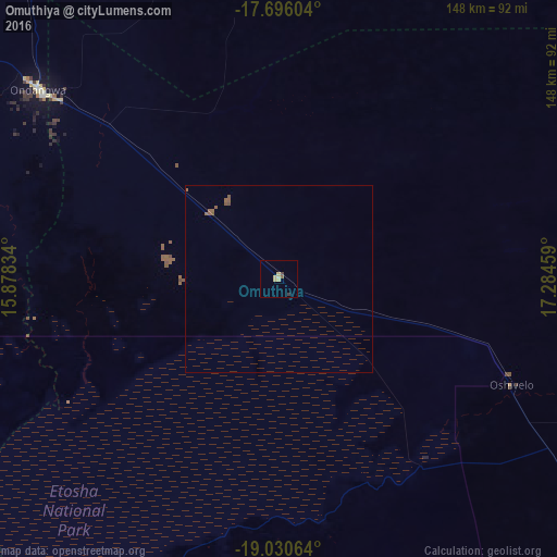
99.35%Clear (daylight) street map image can be seen on geolist.org.
Map coordinates:
17° 41' 45.7" South, 15° 52' 42" East
18° 21' 52.7" South, 16° 34' 53.3" East
19° 1' 50.3" South, 17° 17' 4.5" East
Some cities around Omuthiya sort by population:
• Oshakati
112.7 km =70 mi,  304°
304°
• Tsumeb
153.6 km =95.4 mi,  128°
128°
• Ondjiva, AO
170 km =105.6 mi,  328°
328°
• Ongwediva
107.7 km =66.9 mi,  306°
306°
• Ondangwa
83.3 km =51.8 mi, 306°
• Okahao
168.6 km =104.8 mi,  288°
288°
• Outapi
194.5 km =120.9 mi, 299°
• Eenhana
103.2 km =64.1 mi,  345°
345°
3354367 (p: 5,000)
Sources (retrieved 2019-11-25):
» Earth at Night: Flat Maps 2012, 2016