Rundu night lights from space
Night Light of Rundu (Kavango East) from space (Namibia) Src. Average luminocity for 10x10km area is 23.158% and for 50x50km: 1.0426%.
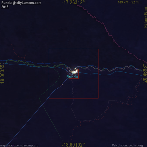
Analysis of Rundu night lights 2016
Square area 10x10 km:
 4.98%
4.98%90-99
4.55%80-89
1.95%70-79
3.03%60-69
1.08%50-59
3.25%40-49
2.16%30-39
4.11%20-29
0.87%10-19
16.02%0-9
58.01%Square area 50x50 km:
0.19%90-99
0.17%80-89
0.11%70-79
0.11%60-69
0.04%50-59
0.16%40-49
0.08%30-39
0.16%20-29
0.03%10-19
0.65%0-9
98.3%Clear (daylight) street map image can be seen on geolist.org.
Map coordinates:
17° 15' 47.2" South, 19° 3' 48.8" East
17° 55' 60" South, 19° 46' 0" East
18° 36' 3.7" South, 20° 28' 11.3" East
Some cities around Rundu sort by population:
• Grootfontein
251.3 km =156.2 mi,  223°
223°
• Tsumeb
259.9 km =161.5 mi,  236°
236°
• Ondangwa
403.8 km =250.9 mi,  270°
270°
• Shakawe, BW
224.5 km =139.5 mi,  102°
102°
• Okakarara
383.1 km =238 mi, 219°
• Omuthiya
339.9 km =211.2 mi,  261°
261°
• Eenhana
367.4 km =228.3 mi,  278°
278°
• Nkurenkuru
128.4 km =79.8 mi,  285°
285°
3353383 (p: 58,172)
Sources (retrieved 2019-11-25):
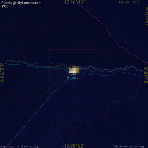
» NASA, Earths city lights 1995
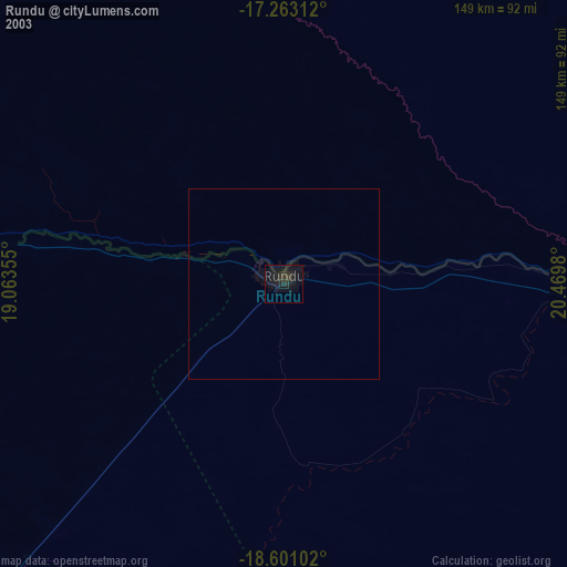
» NASA city lights 2003
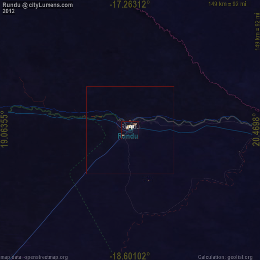
» Earth at Night: Flat Maps 2012, 2016