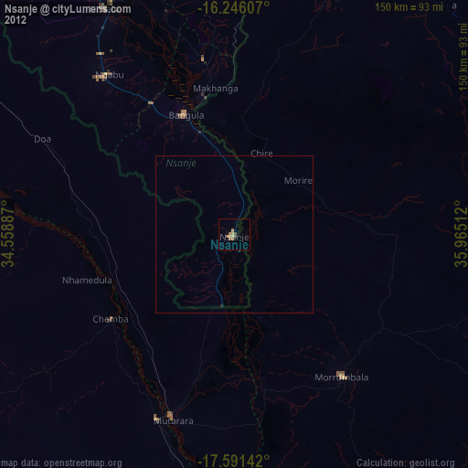
Nsanje night lights from space
Night Light of Nsanje (Southern Region) from space (Malawi) Src. Average luminocity for 10x10km area is 2.1494% and for 50x50km: 0.093%.
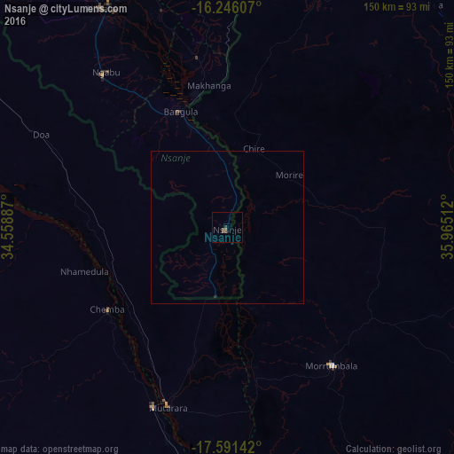
Analysis of Nsanje night lights 2016
Square area 10x10 km:
 0%
0%90-99
0%80-89
0%70-79
0%60-69
0.43%50-59
1.3%40-49
1.73%30-39
0.87%20-29
0%10-19
0%0-9
95.67%Square area 50x50 km:
0%90-99
0%80-89
0%70-79
0%60-69
0.02%50-59
0.05%40-49
0.07%30-39
0.03%20-29
0.03%10-19
0%0-9
99.8%Clear (daylight) street map image can be seen on geolist.org.
Map coordinates:
16° 14' 45.9" South, 34° 33' 31.9" East
16° 55' 11.8" South, 35° 15' 43.2" East
17° 35' 29.1" South, 35° 57' 54.4" East
Some cities around Nsanje sort by population:
• Blantyre
129.1 km =80.2 mi,  347°
347°
• Tete, MZ
197.7 km =122.8 mi,  295°
295°
• Zomba
170.7 km =106.1 mi,  2°
2°
• Mulanje
102 km =63.4 mi,  14°
14°
• Luchenza
101.6 km =63.1 mi, 2°
• Mwanza
166.3 km =103.3 mi,  331°
331°
• Chikwawa
110.1 km =68.4 mi, 333°
• Thyolo
95.6 km =59.4 mi, 352°
924572 (p: 21,774)
Sources (retrieved 2019-11-25):
» Earth at Night: Flat Maps 2012, 2016