Putra Heights night lights from space
Night Light of Putra Heights (Selangor) from space (Malaysia) Src. Average luminocity for 10x10km area is 97.3874% and for 50x50km: 77.7996%.
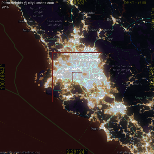
Analysis of Putra Heights night lights 2016
Square area 10x10 km:
 65.58%
90-99
24.03%80-89
5.63%70-79
3.46%60-69
1.3%50-59
0%40-49
0%30-39
0%20-29
0%10-19
0%0-9
0%Square area 50x50 km:
40.73%90-99
16.64%80-89
5.2%70-79
5.2%60-69
7.67%50-59
5.12%40-49
3.97%30-39
3.23%20-29
4.85%10-19
4.19%0-9
3.19%Clear (daylight) street map image can be seen on geolist.org.
Map coordinates:
3° 41' 43.9" North, 100° 52' 9.9" East
2° 59' 37" North, 101° 34' 21.2" East
2° 17' 28.5" North, 102° 16' 32.4" East
Some cities around Putra Heights sort by population:
• Klang
15.1 km =9.4 mi,  288°
288°
• Kampung Baru Subang
17.9 km =11.1 mi,  345°
345°
• Subang Jaya
5.7 km =3.5 mi,  9°
9°
• Petaling Jaya
13.2 km =8.2 mi,  16°
16°
• Shah Alam
11.1 km =6.9 mi,  336°
336°
• Kampong Baharu Balakong
20.2 km =12.6 mi,  77°
77°
• Jenjarum
16 km =9.9 mi,  212°
212°
• Pelabuhan Klang
20 km =12.4 mi,  271°
271°
10792382 (p: 60,000)
Sources (retrieved 2019-11-25):
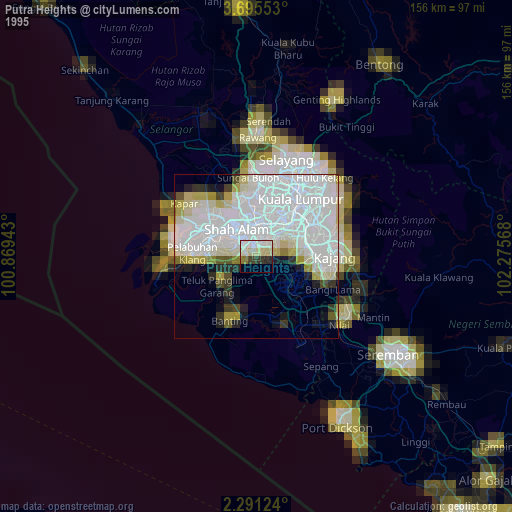
» NASA, Earths city lights 1995
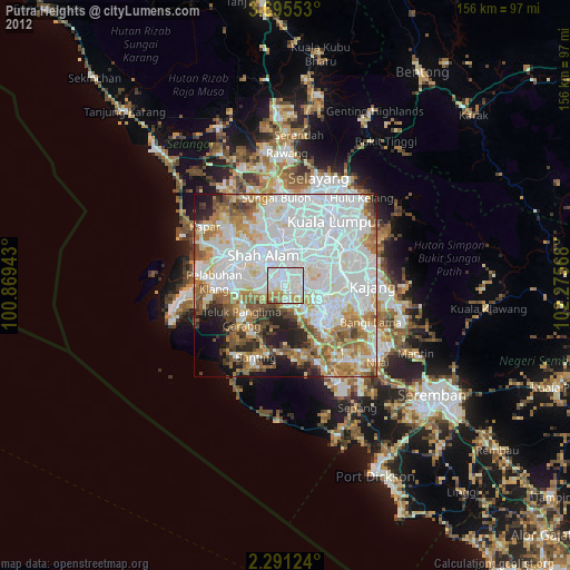
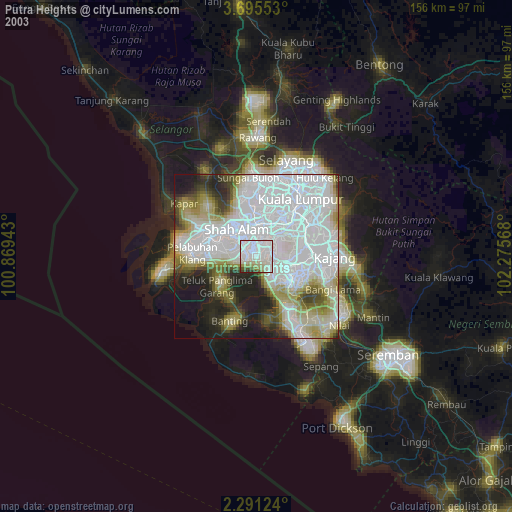
» NASA city lights 2003
» Earth at Night: Flat Maps 2012, 2016