Sepang night lights from space
Night Light of Sepang (Selangor) from space (Malaysia) Src. Average luminocity for 10x10km area is 41.9827% and for 50x50km: 37.8311%.
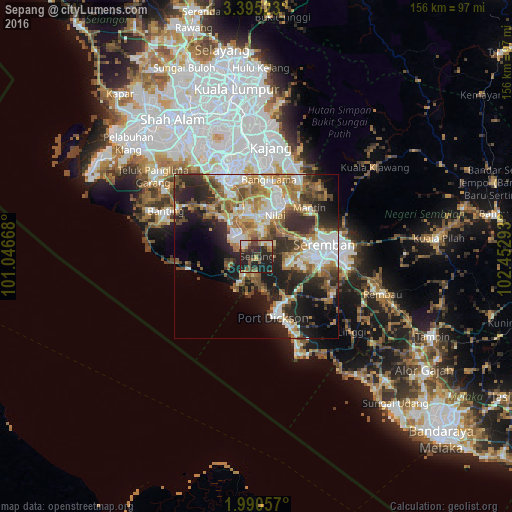


Analysis of Sepang night lights 2016
Square area 10x10 km:
 3.03%
3.03%90-99
7.58%80-89
2.81%70-79
6.28%60-69
5.19%50-59
6.28%40-49
11.47%30-39
7.36%20-29
27.71%10-19
22.29%0-9
0%Square area 50x50 km:
6.59%90-99
7.17%80-89
3.4%70-79
5.24%60-69
7.48%50-59
5.6%40-49
5.96%30-39
4.96%20-29
11.09%10-19
13.41%0-9
29.09%Clear (daylight) street map image can be seen on geolist.org.
Map coordinates:
3° 23' 42.8" North, 101° 2' 48" East
2° 41' 35.2" North, 101° 44' 59.3" East
1° 59' 26.1" North, 102° 27' 10.5" East
Some cities around Sepang sort by population:
• Seremban
21.3 km =13.2 mi,  78°
78°
• Semenyih
30.5 km =19 mi,  19°
19°
• Port Dickson
18.4 km =11.4 mi,  160°
160°
• Putrajaya
27.7 km =17.2 mi,  346°
346°
• Banting
30.6 km =19 mi,  295°
295°
• Kampung Baharu Nilai
13.3 km =8.3 mi, 23°
• Tanjung Sepat
21.1 km =13.1 mi,  259°
259°
• Sungai Pelek New Village
7.3 km =4.5 mi,  229°
229°
1734821 (p: 212,050)
Sources (retrieved 2019-11-25):
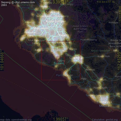
» NASA, Earths city lights 1995
» NASA city lights 2003
» Earth at Night: Flat Maps 2012, 2016