Kuala Lumpur night lights from space
Night Light of Kuala Lumpur from space (Malaysia) Src. Average luminocity for 10x10km area is 99.9978% and for 50x50km: 67.564%.
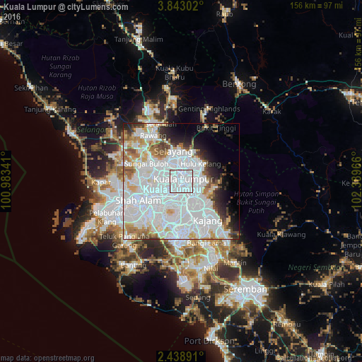
Analysis of Kuala Lumpur night lights 2016
Square area 10x10 km:
 99.78%
90-99
0.22%80-89
0%70-79
0%60-69
0%50-59
0%40-49
0%30-39
0%20-29
0%10-19
0%0-9
0%Square area 50x50 km:
38.06%90-99
14.62%80-89
4.27%70-79
3.7%60-69
4.3%50-59
3.23%40-49
2.86%30-39
2.63%20-29
4.36%10-19
4.84%0-9
17.13%Clear (daylight) street map image can be seen on geolist.org.
Map coordinates:
3° 50' 34.9" North, 100° 59' 0.3" East
3° 8' 28.3" North, 101° 41' 11.5" East
2° 26' 20.1" North, 102° 23' 22.8" East
Some cities around Kuala Lumpur sort by population:
• Kampung Baru Subang
17 km =10.6 mi,  273°
273°
• Subang Jaya
16 km =9.9 mi,  227°
227°
• Petaling Jaya
9.6 km =6 mi,  246°
246°
• Shah Alam
18.2 km =11.3 mi, 249°
• Ampang
9 km =5.6 mi,  83°
83°
• Kampong Baharu Balakong
13.9 km =8.6 mi,  149°
149°
• Putra Heights
20.7 km =12.9 mi,  217°
217°
• Kuang
19.7 km =12.2 mi,  311°
311°
1735161 (p: 1,453,975)
Sources (retrieved 2019-11-25):
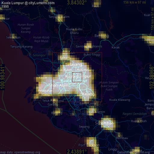
» NASA, Earths city lights 1995
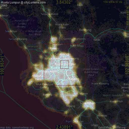
» NASA city lights 2003
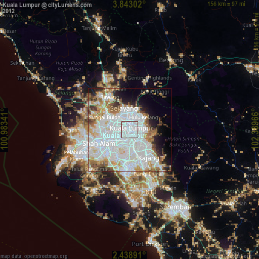
» Earth at Night: Flat Maps 2012, 2016