Kampong Baharu Balakong night lights from space
Night Light of Kampong Baharu Balakong (Selangor) from space (Malaysia) Src. Average luminocity for 10x10km area is 99.7035% and for 50x50km: 64.0515%.
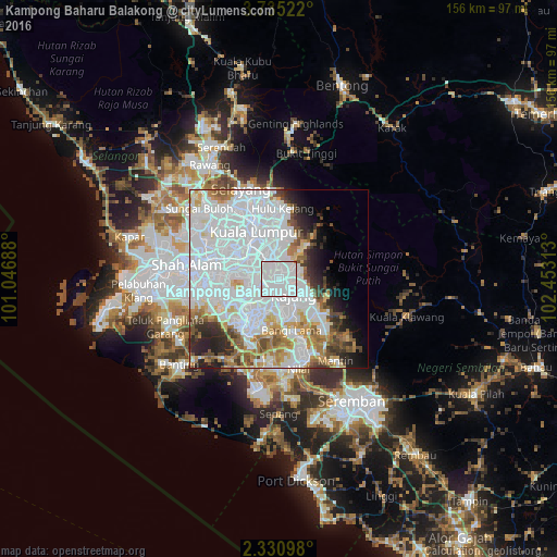
Analysis of Kampong Baharu Balakong night lights 2016
Square area 10x10 km:
 89.18%
90-99
10.39%80-89
0%70-79
0.22%60-69
0.22%50-59
0%40-49
0%30-39
0%20-29
0%10-19
0%0-9
0%Square area 50x50 km:
35.5%90-99
12.63%80-89
3.66%70-79
4.39%60-69
4.72%50-59
3.37%40-49
3.88%30-39
2.95%20-29
5.15%10-19
4.89%0-9
18.87%Clear (daylight) street map image can be seen on geolist.org.
Map coordinates:
3° 44' 6.8" North, 101° 2' 48.8" East
3° 1' 60" North, 101° 45' 0" East
2° 19' 51.5" North, 102° 27' 11.3" East
Some cities around Kampong Baharu Balakong sort by population:
• Kuala Lumpur
13.9 km =8.6 mi,  329°
329°
• Subang Jaya
18.8 km =11.7 mi,  273°
273°
• Petaling Jaya
17.9 km =11.1 mi,  297°
297°
• Shah Alam
24.8 km =15.4 mi,  283°
283°
• Ampang
13.1 km =8.1 mi,  8°
8°
• Semenyih
13.8 km =8.6 mi,  131°
131°
• Putra Heights
20.2 km =12.6 mi,  257°
257°
• Putrajaya
12.7 km =7.9 mi,  210°
210°
1771304 (p: 69,302)
Sources (retrieved 2019-11-25):
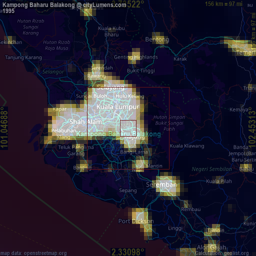
» NASA, Earths city lights 1995
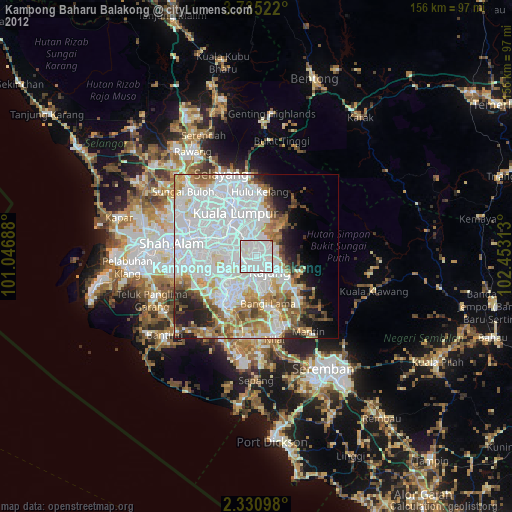
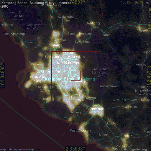
» NASA city lights 2003
» Earth at Night: Flat Maps 2012, 2016