Segamat night lights from space
Night Light of Segamat (Johor) from space (Malaysia) Src. Average luminocity for 10x10km area is 52.6299% and for 50x50km: 6.5524%.
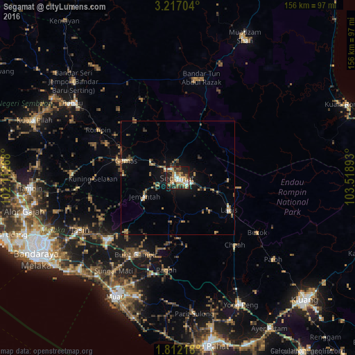
Analysis of Segamat night lights 2016
Square area 10x10 km:
 8.23%
8.23%90-99
8.01%80-89
4.55%70-79
14.29%60-69
10.17%50-59
6.28%40-49
8.66%30-39
6.49%20-29
15.58%10-19
17.53%0-9
0.22%Square area 50x50 km:
0.49%90-99
0.61%80-89
0.32%70-79
1.47%60-69
1.23%50-59
1.03%40-49
1%30-39
0.84%20-29
1.5%10-19
4.65%0-9
86.86%Clear (daylight) street map image can be seen on geolist.org.
Map coordinates:
3° 13' 1.3" North, 102° 6' 45.6" East
2° 30' 53.3" North, 102° 48' 56.9" East
1° 48' 43.8" North, 103° 31' 8.1" East
Some cities around Segamat sort by population:
• Muar
59.1 km =36.7 mi,  207°
207°
• Tangkak
40.7 km =25.3 mi,  227°
227°
• Bahau
56.1 km =34.9 mi,  305°
305°
• Bakri
55.4 km =34.4 mi,  199°
199°
• Labis
27 km =16.8 mi,  122°
122°
• Bemban
56.2 km =34.9 mi,  240°
240°
• Buloh Kasap
7.2 km =4.5 mi, 306°
• Chaah
39.2 km =24.4 mi,  138°
138°
1732846 (p: 69,816)
Sources (retrieved 2019-11-25):
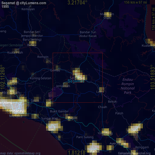
» NASA, Earths city lights 1995
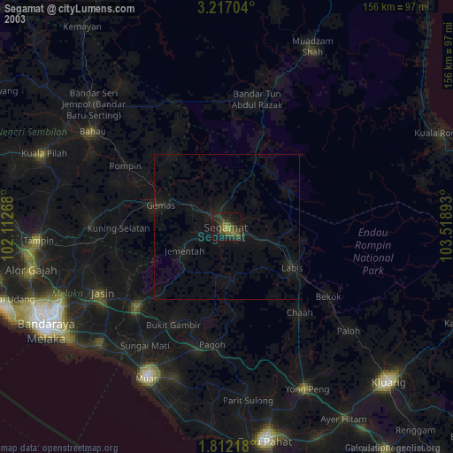
» NASA city lights 2003
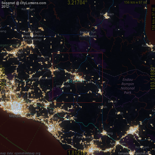
» Earth at Night: Flat Maps 2012, 2016